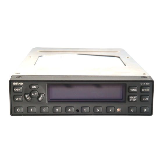
Garmin GTX 330 매뉴얼 - 페이지 7
{카테고리_이름} Garmin GTX 330에 대한 매뉴얼을 온라인으로 검색하거나 PDF를 다운로드하세요. Garmin GTX 330 8 페이지. Equipment supplement
Garmin GTX 330에 대해서도 마찬가지입니다: 파일럿 매뉴얼 부록 (50 페이지), 파일럿 매뉴얼 부록 (50 페이지), 파일럿 매뉴얼 (12 페이지), 파일럿 매뉴얼 (13 페이지), 파일럿 매뉴얼 (8 페이지), 파일럿 매뉴얼 (6 페이지), 파일럿 매뉴얼 (13 페이지), 설치 매뉴얼 (49 페이지)

Garmin GTX 330 Series Supplement
4.1 Using the GTX 330
Standard operating procedures apply to GTX 330 transponders when used with GRT EFIS systems.
Please refer to the Garmin GTX 330 user manual for transponder operating instructions.
4.2 Traffic Display Icon
When the display unit is programmed to the specifications in Section 3, traffic alerts will pop up
on the map and/or primary flight display automatically when within range of radar-based TIS
(Traffic Information Service) or ADS-B when equipped with an ADS-B receiver.
ADS-B and TIS traffic alerts use the same symbols. Note that if target aircraft do not have Mode C
capability, altitude information is omitted from the icon.
Altitude
Relative altitude of target
in hundreds of feet.
+ = Above you
- = Below you
Target Icon
Last known position of
target. Appears as a
solid circle on PFD.
In the example given here, your aircraft is the large icon in the
center of the circle. The target traffic is at your 1 o'clock position,
700 feet above you, climbing at least 500 fpm, and heading nearly
the same direction.
Revision A
Section 4: Pilot's Guide
+07
GRT Avionics
Lateral Vector
Ground track of
target (direction is
away from Target
Vertical Vector
Up Arrow=Climbing
Down Arrow=Descending
No Arrow=Change in
altitude of <500 fpm
GTX 330-7
