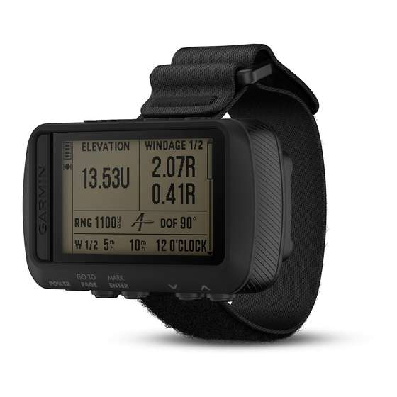
Garmin FORETREX 701 BALLISTIC EDITION Manual del usuario - Página 25
Navegue en línea o descargue pdf Manual del usuario para Ver Garmin FORETREX 701 BALLISTIC EDITION. Garmin FORETREX 701 BALLISTIC EDITION 30 páginas. Ballistic edition
También para Garmin FORETREX 701 BALLISTIC EDITION: Manual del usuario (18 páginas)

Restoring All Default Settings
You can reset all settings back to their factory default values.
From the menu page, select SETUP > RESET > RESTORE DEFAULTS > YES.
Data Fields
AMB PRESS: The uncalibrated ambient pressure.
AVG ASCENT: The average vertical distance of ascent since the last reset.
AVG DESCNT: The average vertical distance of descent since the last reset.
BAROMETER: The calibrated current pressure.
BEARING: The direction from your current location to a destination. You must be navigating for this data to
appear.
CADENCE: Cycling. The number of revolutions of the crank arm. Your device must be connected to a cadence
accessory for this data to appear.
COURSE: The direction from your starting location to a destination. Course can be viewed as a planned or set
route. You must be navigating for this data to appear.
ELEVATION: The altitude of your current location above or below sea level.
FINAL DEST: The last point on the route or course.
FINAL DIST: The remaining distance to the final destination. You must be navigating for this data to appear.
FINAL ETA: The estimated time of day when you will reach the final destination (adjusted to the local time of the
destination). You must be navigating for this data to appear.
FINAL ETE: The estimated time remaining until you reach the final destination. You must be navigating for this
data to appear.
GLIDE RATIO: The ratio of horizontal distance traveled to the change in vertical distance.
GR DEST: The glide ratio required to descend from your current position to the destination elevation. You must
be navigating for this data to appear.
HEADING: The direction you are moving.
HEART RATE: Your heart rate in beats per minute (bpm). Your device must be connected to a compatible heart
rate monitor.
MAX ASCENT: The maximum rate of ascent in feet per minute or meters per minute since the last reset.
MAX DESCNT: The maximum rate of descent in meters per minute or feet per minute since the last reset.
MAX ELEVTN: The highest elevation reached since the last reset.
MAX SPEED: The highest speed reached since the last reset.
MAX TEMP: The maximum temperature recorded in the last 24 hours from a compatible temperature sensor.
MIN ELEVTN: The lowest elevation reached since the last reset.
MIN TEMP: The minimum temperature recorded in the last 24 hours from a compatible temperature sensor.
MOV'N AVG: The average speed while moving for the current activity.
MOV'N TIME: The total time moving for the current activity.
NEXT DEST: The next point on the route. You must be navigating for this data to appear.
NEXT DIST: The remaining distance to the next waypoint on the route. You must be navigating for this data to
appear.
NEXT ETA: The estimated time of day when you will reach the next waypoint on the route (adjusted to the local
time of the waypoint). You must be navigating for this data to appear.
NEXT ETE: The estimated time remaining until you reach the next waypoint on your route. You must be
navigating for this data to appear.
Appendix
Appendix
21
