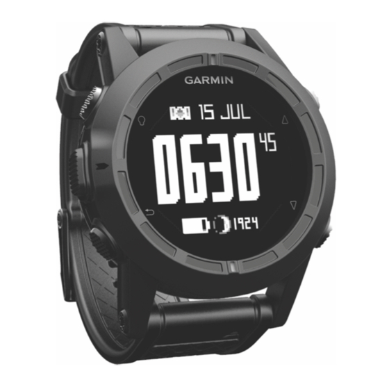
Garmin tactix Manual del usuario - Página 6
Navegue en línea o descargue pdf Manual del usuario para Ver Garmin tactix. Garmin tactix 24 páginas.
También para Garmin tactix: Manual de inicio rápido (4 páginas)

4
Select
.
NOTE: Your body temperature affects the temperature
sensor. To get the most accurate temperature reading,
remove the device from your wrist and wait 20–30 minutes.
TIP: To purchase a tempe™ wireless temperature sensor, go
to www.garmin.com.
5
Select
.
Turning on a Sensor Mode
The default sensor mode is on demand mode, which offers you
quick access to compass, altimeter, barometer, or temperature
data. You can also put the device in always on mode to display
continuous sensor data.
NOTE: If you have an optional heart rate monitor or speed and
cadence sensor paired with the device, your device can display
continuous heart rate or speed and cadence data.
1
Select the action key.
2
Select Setup > Sensors > Mode > Always On.
Acquiring Satellite Signals and Recording a
Track
Before you can use the GPS navigation features, such as
recording a track, you must acquire satellite signals.
The time and date are set automatically based on the GPS
position.
1
Select the action key.
2
Select Start GPS.
3
Go to an area with a clear view of the sky and remain
stationary while the device acquires satellite signals.
4
Walk around or travel to record a track.
Your distance and time appear.
5
Select
to view the loop of data pages.
6
Hold
.
7
Select an option:
• Select Pause Track to pause tracking.
• Select Save Track to save your track.
• Select Clear Track to erase the track without saving.
2
• Select Stop GPS to turn off GPS without deleting your
track.
Stopping GPS
1
Select the action key.
2
Select Stop GPS.
Sending a Track to BaseCamp™
Before you can send data to BaseCamp, you must download
BaseCamp to your computer (www.garmin.com/basecamp).
You can view your tracks and waypoints on your computer.
1
Connect your device to your computer using the USB cable.
Your device appears as a removable drive in My Computer
on Windows ® computers and as a mounted volume on
Mac ® computers.
2
Start BaseCamp.
3
Follow the on-screen instructions.
Profiles
Profiles are a collection of settings that optimize your device
based on how you are using it. For example, the settings and
views are different when you are using the device when hiking
than when mountain biking.
When you are using a profile and you change settings such as
data fields or units of measurement, the changes are saved
automatically as part of the profile.
Changing Profiles
When you change activities, you can quickly change the setup
of the device to suit the activity by changing the profile.
1
Select the action key.
2
Select Profiles.
3
Select a profile.
The profile you selected is now the active profile. Any changes
you make are saved to the active profile.
Creating a Custom Profile
You can customize your settings and data fields for a particular
activity or trip.
1
Select the action key.
2
Select Setup > Profiles.
3
Select an option:
• Select a profile.
• Select Create New, and select the new profile.
The profile you selected is now the active profile. The
previous profile was saved.
4
If necessary, select Edit, and edit the name of the profile.
5
Customize your settings
active profile.
Any changes you make are saved to the active profile.
Deleting a Profile
1
Select the action key.
2
Select Setup > Profiles.
3
Select a profile.
4
Select Delete > Yes.
Waypoints, Routes, and Tracks
Waypoints
Waypoints are locations you record and store in the device.
(page
8) and data fields for the
Waypoints, Routes, and Tracks
