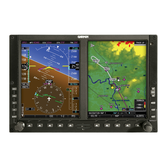
Garmin G500 Manual - Página 11
Navegue en línea o descargue pdf Manual para Pantalla de aviónica Garmin G500. Garmin G500 40 páginas. Primary flight and multifuction display system
También para Garmin G500: Referencia rápida (2 páginas), Manual de instrucciones (14 páginas)

SVT provides additional features on the G500 primary flight display (PFD)
which display the following information:
Synthetic Terrain; an artificial, database derived, three dimensional
view of the terrain ahead of the aircraft within a field of view of
approximately 25 degrees left and 25 degrees right of the aircraft
heading.
Obstacles; obstacles such as towers, including buildings over 200 AGL
that are within the depicted synthetic terrain field of view.
Flight Path Marker (FPM); an indication of the current lateral and
vertical path of the aircraft. The FPM is always displayed when
synthetic terrain is selected for display.
Traffic; a display on the PFD indicating the position of other aircraft
detected by a traffic system interfaced to the G500 system.
Horizon Line; a white line indicating the true horizon is always
displayed on the SVT display.
Horizon Heading; a pilot selectable display of heading marks
displayed just above the horizon line on the PFD.
Airport Signs; pilot selectable "signposts" displayed on the synthetic
terrain display indicating the position of nearby airports that are in the
G500 database.
Runway Highlight; a highlighted presentation of the location and
orientation of the runway(s) at the destination airport.
The synthetic terrain depiction displays an area approximating the view from the
pilot's eye position when looking directly ahead out the windshield in front of
the pilot. Terrain features outside this field of view are not shown on the display.
The synthetic terrain display is intended to aid the pilot awareness of the terrain
and obstacles in front of the airplane. It may not provide either the accuracy or
fidelity, or both, on which to solely base decisions and plan maneuvers to avoid
terrain or obstacles. The synthetic vision elements are not intended to be used
for primary aircraft control in place of the primary flight instruments.
1.5
Autopilot Interface
The G500 may be interfaced to an optional autopilot. The G500 typically
provides course and heading datum to the autopilot based on the data selected
for display on the HSI. For multiple GPS/NAV systems, the G500 acts as a
selection hub for the autopilot's NAV mode, and the G500 may also provide
GPS Steering data. Some autopilots may provide Flight Director capabilities
which can be displayed on the G500 Attitude Indicator as a Single Cue Flight
Director.
AFMS, GARMIN G500 PFD/MFD SYSTEM
FAA APPROVED
190-01102-01 Rev. 9
Page 11 of 40
