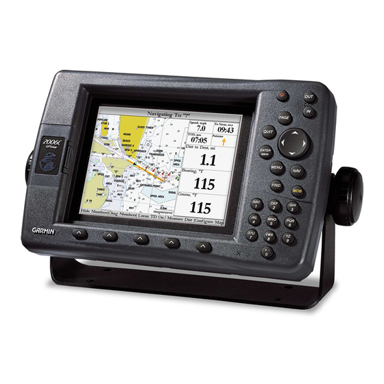
Garmin GPSMAP 2010 Manual del usuario - Página 7
Navegue en línea o descargue pdf Manual del usuario para Sistema GPS marino Garmin GPSMAP 2010. Garmin GPSMAP 2010 20 páginas. Garmin gsd 20 marine-remote sounder: release note
También para Garmin GPSMAP 2010: Manual de instrucciones de instalación (12 páginas), Declaración de conformidad (1 páginas), Declaración de conformidad (1 páginas), Manual de instalación (8 páginas)

Introduction
Capabilities
iv
Designed for detailed electronic charting capability, the Garmin GPSMAP 2006/2010 are powerful navi-
gation devices that can give you the navigation information you need:
Precision Performance
• The GPSMAP 2006/2010 features a high-contrast, ten-level gray, 640 x 480 LCD display with
adjustable contrast and backlighting.
• The GPSMAP 2006C/2010C features a high resolution, 256-color, 640 x 480 color LCD display
with adjustable brightness.
• GPS 17: 12-channel parallel receiver tracks and uses up to 12 satellites for fast, accurate positioning.
• DGPS; USCG and WAAS capable.
• Fully gasketed, high-impact plastic alloy case, waterproof to IEC 529-IPX7
Advanced Navigating and Plotting
• 3000 alphanumeric waypoints with selectable icons and comments.
• Built-in worldwide basemap includes detailed ocean, river and lake coastlines, cities, U.S. interstates,
state highways, and built-in tide information from over 3,000 tide stations around the USA coastline,
Alaska, Hawaii, western Canada, and several Caribbean Islands.
• 50 reversible routes with up to 254 waypoints each.
• Enhanced mapping with an additional data card and Garmin' s BlueChart or MapSource PC products.
• Coordinates: Lat/Lon, UTM/UPS, Loran TD, plus sixteen grids, including Maidenhead.
• TracBack route feature, which allows you to quickly retrace your track log to a starting position.
Superior Fishfinding Ability (when combined with the GSD 20 Sounder Module)
• Whiteline feature provides a clear image of bottom hardness and structure.
• See-Thru technology, which helps separate fish returns from thermoclines and structure.
• Depth Control Gain (DCG) feature automatically adjusts fishfinder sensitivity according to depth.
• Four Zoom levels with a moving view window, plus bottom lock.
• Underwater waypoint marking.
• Map/Sonar split screen combines navigation and fishfinding ability.
• Fish and Depth alarms.
