Satellite Page
satellites, then a coordinate pair will be displayed in the upper left, an
estimated GPS position accuracy will show in the upper right, and many of
the satellites and their corresponding signal strength bars will be steady and
green. Once at least four to five satellite bars are green, the user can exit
the Satellite page and begin working with the unit. The satellite strength bar
graphic will show filled green bars indicating an active position fix.
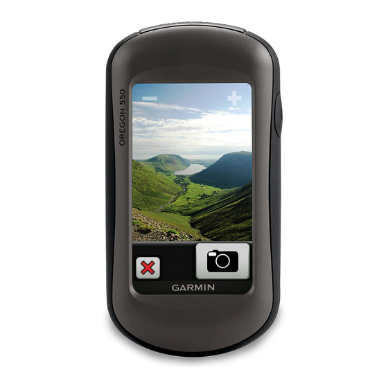
Lock/Unlock Screen
If you tap the Power button while the unit is active, a screen will appear that allows you to lock the last
viewed screen. To lock the screen, press the Lock Screen button that appears. You will be returned to
your last viewed screen and not be able to navigate away from that screen until you unlock the screen.
To unlock the screen, tap the Power button again and then press the Unlock Screen button. This is
useful if you want to keep a particular screen displayed while you work, such as the compass, and not
leave that screen if you accidentally touch it while working.
Accuracy
Many factors affect GPS accuracy ranging from number and position of currently used satellites to the
current atmospheric conditions down to proximity to solid objects or the way a unit is held in some cases.
To achieve the best accuracy, stay away from tall vegetation, structures, vehicles, and low lying areas
surrounded by steep terrain. All handheld GPS units in this area of the world perform best when the user
faces south. This unit performs about the same when held upright or flat.
The units have an expected absolute accuracy, horizontally, of 3 to 5 meters at the 95% confidence level
using the WAAS setting. Absolute accuracy is a measure of how close a given point is to an actual
ground position by comparing the recorded point against a professionally surveyed location.
The units have an expected relative accuracy, horizontally, of 1 to 2 meters. Relative accuracy means
that if you drew a circle around a collected point with a 2 meter radius and then you collected many more
points while standing in the same spot, nearly all or all of those points would fall within that circle, but not
necessarily exactly on top of each other or the original point.
As essentially a recreation grade unit, the vertical accuracy of this unit should be regarded as an
approximation. Survey grade units are the preferred hardware for observing elevations.
Access the Satellite page by touching the satellite strength bar graphic while
on a main screen. The graphic may be black, red, green, partly filled, or
covered with a red "x" depending on current signals and settings. A screen
will be displayed with satellite information and a sky plot. If the unit does not
yet have a fix, satellites and their corresponding bars will be flashing and a
Locating Satellites message will be displayed.
If the unit has a strong enough fix on several
NRCS Indiana GPS Task Guide
Garmin Oregon Units
Page 4 of 4