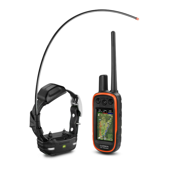
Garmin Alpha 100 with TT 15 mini Manual del usuario - Página 17
Navegue en línea o descargue pdf Manual del usuario para Producto para el cuidado de mascotas Garmin Alpha 100 with TT 15 mini. Garmin Alpha 100 with TT 15 mini 26 páginas.

Battery Save: Saves the battery power and prolongs the battery
life by turning off the screen when the backlight times out
(Turning On the Handheld Battery Save Mode, page
Calibrate Screen: Aligns the screen to properly respond to
touches
(Calibrating the Touchscreen, page
Calibrating the Touchscreen
You can calibrate the screen, if it does not seem to be
responding properly.
1
Select Setup > Display > Calibrate Screen.
2
Follow the on-screen instructions.
Appearance Settings
Select Setup > Appearance.
Mode: Sets a light background, a dark background, or
automatically switches between the two based on the sunrise
and sunset time for your current location.
Background: Sets the background image.
Day Highlight Color: Sets the color for selections made when
in day mode.
Night Highlight Color: Sets the color for selections made when
in night mode.
Setting the Device Tones
You can customize tones for messages, keys, warnings, and
alarms.
1
Select Setup > Tones.
2
Select a tone for each audible type.
Map Settings
Select Setup > Map.
Orientation: Adjusts how the map is shown on the page. North
Up shows north at the top of the page. Track Up shows your
current direction of travel toward the top of the page.
Automotive Mode shows an automotive perspective with the
direction of travel at the top.
Guidance Text: Sets when the guidance text on the map is
shown.
Dashboard: Sets a dashboard to display on the map. Each
dashboard shows different information about your route or
your location.
Map Information: Enables or disables the maps currently
loaded on the device.
Map Speed: Adjusts the speed at which the map is drawn. A
faster map drawing speed decreases the battery life.
Advanced Map Settings
Select Setup > Map > Advanced Setup.
Auto Zoom: Automatically sets the zoom level for optimal use of
your map. When Off is selected, you must zoom in or out
manually.
Detail: Sets the amount of detail shown on the map. Showing
more detail may cause the map to redraw more slowly.
Shaded Relief: Shows detail relief on the map (if available) or
turns off shading.
Vehicle: Allows you to select a position icon, which represents
your position on the map.
Zoom Levels: Sets the zoom level at which map items will
appear. Map items do not appear when the map zoom level
is higher than the selected level.
Text Size: Sets the text size for map items.
Track Settings
Select Setup > Tracks.
Customizing Your Device
Track Log: Turns track recording on or off.
Record Method: Sets a track recording method. Auto records
15).
the tracks at a variable rate to create an optimum
representation of your tracks.
13).
Interval: Sets a track log recording rate. Recording points more
frequently creates a more-detailed track, but fills the track log
faster.
Auto Archive: Sets an automatic archive method to organize
your tracks. Tracks are saved and cleared automatically
based on the user setting.
Color: Sets the color of the track line on the map.
Routing Settings
The device calculates routes optimized for the type of activity
you are doing. The routing settings available vary based on the
activity selected.
Select Setup > Routing.
Activity: Sets an activity for routing. The device calculates
routes optimized for the type of activity you are doing.
Route Transitions: Sets how the device routes from one point
on the route to the next. This setting is available only for
some activities. Distance routes you to the next point on the
route when you are within a specified distance of your current
point.
Lock On Road: Locks the position icon, which represents your
position on the map, onto the nearest road.
Changing the Units of Measure
You can customize units of measure for distance and speed,
elevation, depth, temperature, and pressure.
1
Select Setup > Units.
2
Select a measurement type.
3
Select a unit of measure for the setting.
Time Settings
Select Setup > Time.
Time Format: Sets the device to show time in a 12-hour or 24-
hour format.
Time Zone: Sets the time zone for the device. Automatic sets
the time zone automatically based on your GPS position.
Position Format Settings
NOTE: Do not change the position format or the map datum
coordinate system unless you are using a map or chart that
specifies a different position format.
Select Setup > Position Format.
Position Format: Sets the position format for the location
information.
Map Datum: Sets the coordinate system on which the map is
structured.
Map Spheroid: Shows the coordinate system the device is
using. The default coordinate system is WGS 84.
Heading Settings
You can customize the compass settings.
Select Setup > Heading.
Display: Sets the type of directional heading shown on the
compass.
North Reference: Sets the north reference used on the
compass.
Go To Line/Pointer: Sets the behavior of the pointer that
appears on the map. Bearing points in the direction of your
13
