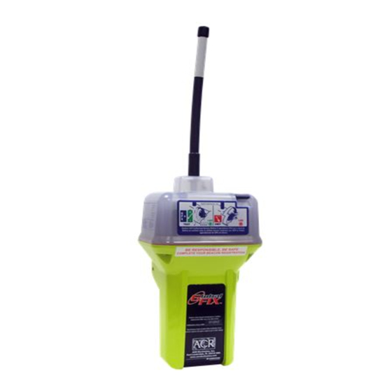
ACR Electronics GlobalFix 406 Manual de soporte del producto - Página 6
Navegue en línea o descargue pdf Manual de soporte del producto para GPS ACR Electronics GlobalFix 406. ACR Electronics GlobalFix 406 13 páginas. Emergency position indicating radio beacon fcc type accepted
También para ACR Electronics GlobalFix 406: Manual de soporte del producto (16 páginas)

equipment to measure and store the Doppler-shifted frequency
along with the satellite EPIRB digital data message and time of
measurement. This information is transmitted in real time to an
earth station called the Local User Terminal (LUT), which may
be within the view of the satellite, as well as being stored for
later transmission to other LUTs. In the real-time mode, the
signal detection is limited to a mutual EPIRB-satellite-LUT
circular visibility area of about 2500 km radius that moves with
the satellite along its track. However, because of the stored-
mode capability at 406 MHz, the need for this mutual EPIRB-
satellite-LUT visibility is not essential, and the system is fully
functional worldwide.
1.3.4
The LUT processes the Doppler-shifted signal and determines
the location of the satellite EPIRB; then the LUT relays the
position of the distress to a Mission Control Center (MCC)
where the distress alert and location information is immediately
forwarded to an appropriate maritime Rescue Coordination
Center (RCC). The RCC dispatches Search and Rescue (SAR)
forces.
1.3.5
The COSPAS-SARSAT System includes 36 LEOSAR LUT
stations, 6 GEOSAR LUT stations and 19 Mission Control
Centers that provide real-time as well as global-mode coverage
for the Northern Hemisphere, while the Southern Hemisphere is
presently served primarily by the global mode. Additional LUTs
and MCCs are planned for installation in the near future both in
the northern and southern hemispheres.
The addition of the GEOSAR Satellite system greatly improves
the reaction time for a SAR event. This satellite system has no
Doppler capabilities at 406 but will relay the distress alert to any
of the LUT stations. When there is GPS data included in the
distress message, SAR authorities instantly know where you are
located. This speeds up the reaction time by not having to wait
for one of the LEOSAR satellite's to come around.
GEOSAR SATELLITE COVERAGE
Figure 1
SAR SATELLITE ORBITS
Y1-03-0157 Rev. T1
6
*** WARNING ***
THIS TRANSMITTER IS AUTHORIZED FOR USE
ONLY DURING SITUATIONS OF GRAVE
AND IMMINENT DANGER
FIGURE 4
Y1-03-0157 Rev. T1
19
