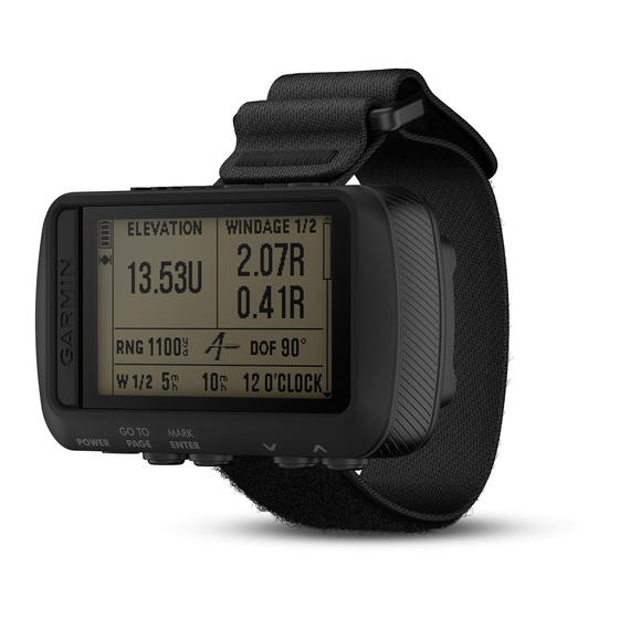
Garmin FORETREX 601 BALLISTIC EDITION Manuel du propriétaire - Page 21
Parcourez en ligne ou téléchargez le pdf Manuel du propriétaire pour {nom_de_la_catégorie} Garmin FORETREX 601 BALLISTIC EDITION. Garmin FORETREX 601 BALLISTIC EDITION 30 pages. Ballistic edition
Également pour Garmin FORETREX 601 BALLISTIC EDITION : Manuel du propriétaire (18 pages)

Tips for Pairing ANT+ Accessories with Your Garmin Device
• Verify that the ANT+ accessory is compatible with your Garmin device.
• Before you pair the ANT+ accessory with your Garmin device, move 10 m (33 ft.) away from other ANT+
accessories.
• Bring the Garmin device within range 3 m (10 ft.) of the ANT+ accessory.
• After you pair the first time, your Garmin device automatically recognizes the ANT+ accessory each time it
is activated. This process occurs automatically when you turn on the Garmin device and only takes a few
seconds when the accessories are activated and functioning correctly.
• When paired, your Garmin device receives data from only your accessory, and you can go near other
accessories.
tempe
The tempe is an ANT+ wireless temperature sensor. You can attach the sensor to a secure strap or loop where
it is exposed to ambient air, and therefore, provides a consistent source of accurate temperature data. You must
pair the tempe with your device to display temperature data from the tempe.
Displaying tempe Data
When displaying tempe data for the first time, you should complete these tasks to customize the device and
data fields.
1 Pair your tempe sensor
2 Customize data fields to display the temperature data
Specifications
Battery type
Battery life
Water rating
Operating temperature range
Wireless frequency
Viewing Device Information
You can view the unit ID, software information, and regulatory information.
1 From the menu page, select SETUP > ABOUT FORETREX.
2 Select
.
Viewing Satellites
The satellite page shows your current location, satellite locations, and signal strength. For more information
about GPS, go to www.garmin.com/aboutGPS.
1 From the menu page, select GPS.
The bars represent the strength of each satellite signal received (the number of satellites appears below
each bar). White bars indicate the device is collecting data. Solid bars indicate the device has acquired
satellite signals.
2 Select ENTER to switch to sky view.
The location of the satellites from which you are receiving signals appears.
1
The device withstands incidental exposure to water of up to 1 m for up to 30 min. For more information, go to www.garmin.com/waterrating.
Device Information
(Pairing Your ANT+ Sensors,
Device Information
Two 1.5 V AAA batteries (alkaline, NiMH, or lithium)
48 hr.
IEC 60529 IPX7
From -20° to 60°C (from -4° to 140°F)
2.4 GHz @ 0.5 dBm maximum
page 16).
(Customizing the Data Fields,
1
page 10).
17
