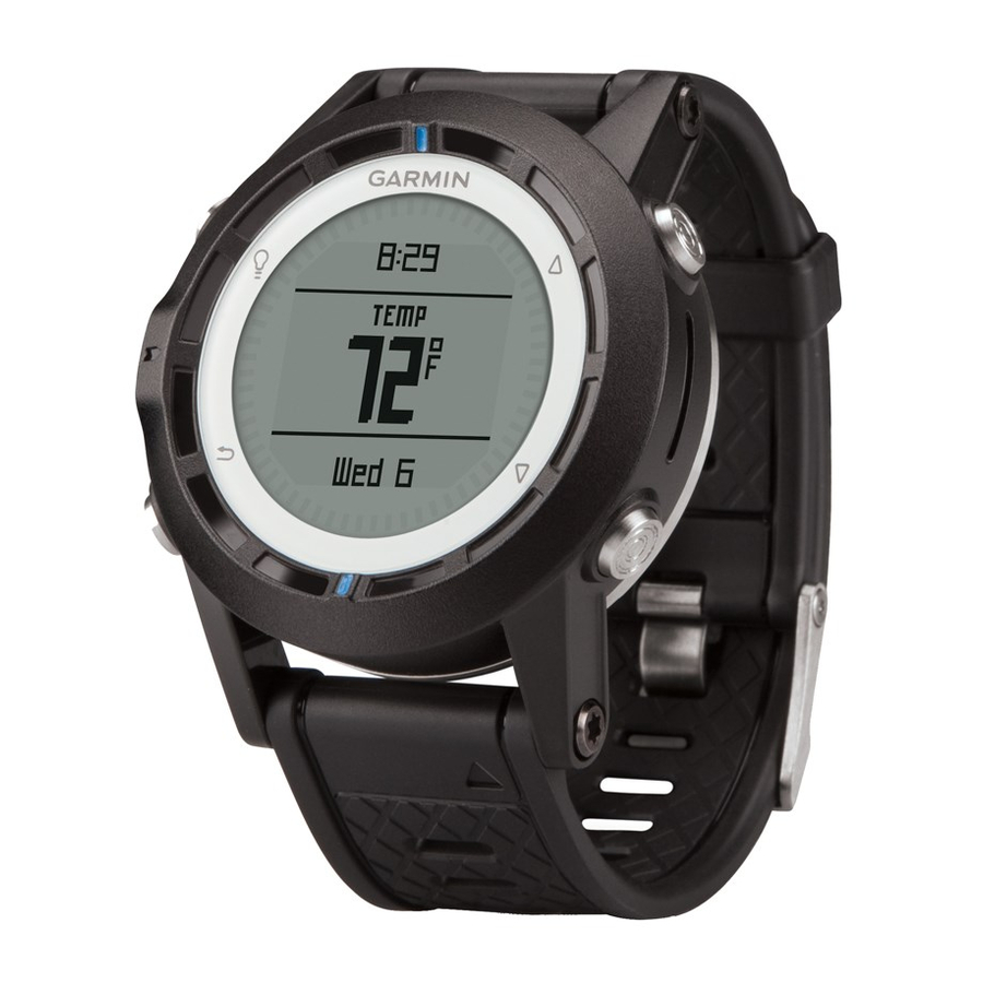
Garmin quatix Manuel du propriétaire - Page 6
Parcourez en ligne ou téléchargez le pdf Manuel du propriétaire pour {nom_de_la_catégorie} Garmin quatix. Garmin quatix 22 pages. Gps watch
Également pour Garmin quatix : Déclaration de conformité (6 pages), Manuel de démarrage rapide (6 pages), Informations sur le produit (44 pages)

Sensors and GPS Data
Viewing the Data Pages
Customizable data pages allow you to quickly access real-time
data for the compass, barometer, and temperature sensors.
When you begin tracking or navigating, additional data pages
appear.
Data pages can also show data streamed from your NMEA
2000 network through a Garmin ® GNT™.
From the time of day page, select
the data pages.
NOTE: Sensor data is not recorded to the device.
Data Page Flows
By default, the time, compass, barometer, and temperature
pages appear in all data page flows. The organization and
appearance of other data pages depends on these conditions.
• The active profile.
• Whether you are tracking, navigating, or viewing only sensor
data.
• Whether you are streaming NMEA 2000 data through a
Garmin GNT.
The data fields on each page can be customized. Some data
fields are available only when streaming NMEA 2000 data
(page
14).
Turning On a Sensor Mode
The default sensor mode is on demand mode, which offers you
quick access to compass, altimeter, barometer, or temperature
data. You can also put the device in always on mode to display
continuous sensor data.
1
Select the blue key.
2
Select Setup > Sensors > Mode > Always On.
Compass
The device has a 3-axis compass with automatic calibration.
• Compass navigation
(page
• Compass settings
(page
Calibrating the Compass
Calibrate the electronic compass outdoors. To improve heading
accuracy, do not stand near objects that influence magnetic
fields, such as vehicles, buildings, and overhead power lines.
Your device was already calibrated at the factory, and the
device uses automatic calibration by default. If you experience
irregular compass behavior, for example, after moving long
distances or after extreme temperature changes, you can
manually calibrate the compass.
1
Select the blue key.
2
Select Setup > Sensors > Compass > Calibrate > Start.
3
Follow the on-screen instructions.
Altimeter and Barometer
The device contains an internal altimeter and barometer.
• On Demand sensor data
• Always On sensor data
• Altimeter settings
(page
Changing the Plot Type
You can change the way the device plots barometer and
elevation data.
1
Select the blue key.
2
Select Setup > Sensors > Altimeter.
3
Select Baro. Plot or Elev. Plot.
2
or
to cycle through
3)
10)
NOTICE
(page
2)
(page
2)
11)
4
Select an option.
Calibrating the Barometric Altimeter
Your device was already calibrated at the factory, and the
device uses automatic calibration by default. You can manually
calibrate the barometric altimeter if you know the correct
elevation or the correct barometric pressure.
1
Select the blue key.
2
Select Setup > Sensors > Altimeter > Calibrate.
3
Follow the on-screen instructions.
Acquiring Satellites
Before you can use the GPS navigation features, such as
recording a track, you must acquire satellite signals.
The device may need a clear view of the sky to acquire satellite
signals. The time and date are set automatically based on the
GPS position. To adjust the time settings, see
For more information about GPS, go to
/aboutGPS.
1
Select the blue key.
2
Select Start GPS.
3
Wait while the device locates satellites.
Stopping GPS
1
Select the blue key.
2
Select Stop GPS.
Navigation
You can navigate to a route, track, waypoint, geocache, or any
saved location in the device. You can use the map or the
compass to navigate to your destination.
Navigating to a Destination
You can navigate to a destination using the compass or map
(page
5).
1
Select the blue key.
2
Select Start GPS.
3
Wait while the device locates satellites.
4
Select the blue key.
5
Select an option:
• Select Waypoints.
• Select Tracks.
• Select Routes.
• Select GPS Tools > Coordinates.
• Select GPS Tools > POIs.
6
Select a destination.
7
Select Go.
The device displays time to destination
destination
, and estimated time of arrival
8
Select
to view the compass page.
page
8.
www.garmin.com
, distance to
.
Navigation
