Garmin GPS 19x NMEA 2000 Instructions d'installation - Page 3
Parcourez en ligne ou téléchargez le pdf Instructions d'installation pour {nom_de_la_catégorie} Garmin GPS 19x NMEA 2000. Garmin GPS 19x NMEA 2000 4 pages. Gps antenna
Également pour Garmin GPS 19x NMEA 2000 : Manuel d'instructions d'installation (49 pages), Instructions d'installation (4 pages)

2
Place the adhesive pads
bracket
.
3
Place the antenna in the under-deck mounting bracket.
4
Adhere the under-deck mounting bracket to the mounting
surface.
5
Secure the under-deck mounting bracket to the mounting
surface with screws.
6
Connect the cable to the antenna
7
Route the cable away from sources of electronic interference.
Connecting the Antenna
NMEA 2000 Network Connection
If you do not have an existing NMEA 2000 network, you must
install a NMEA 2000 network on your boat. For more information
on NMEA 2000, go to garmin.com/manuals/nmea_2000.
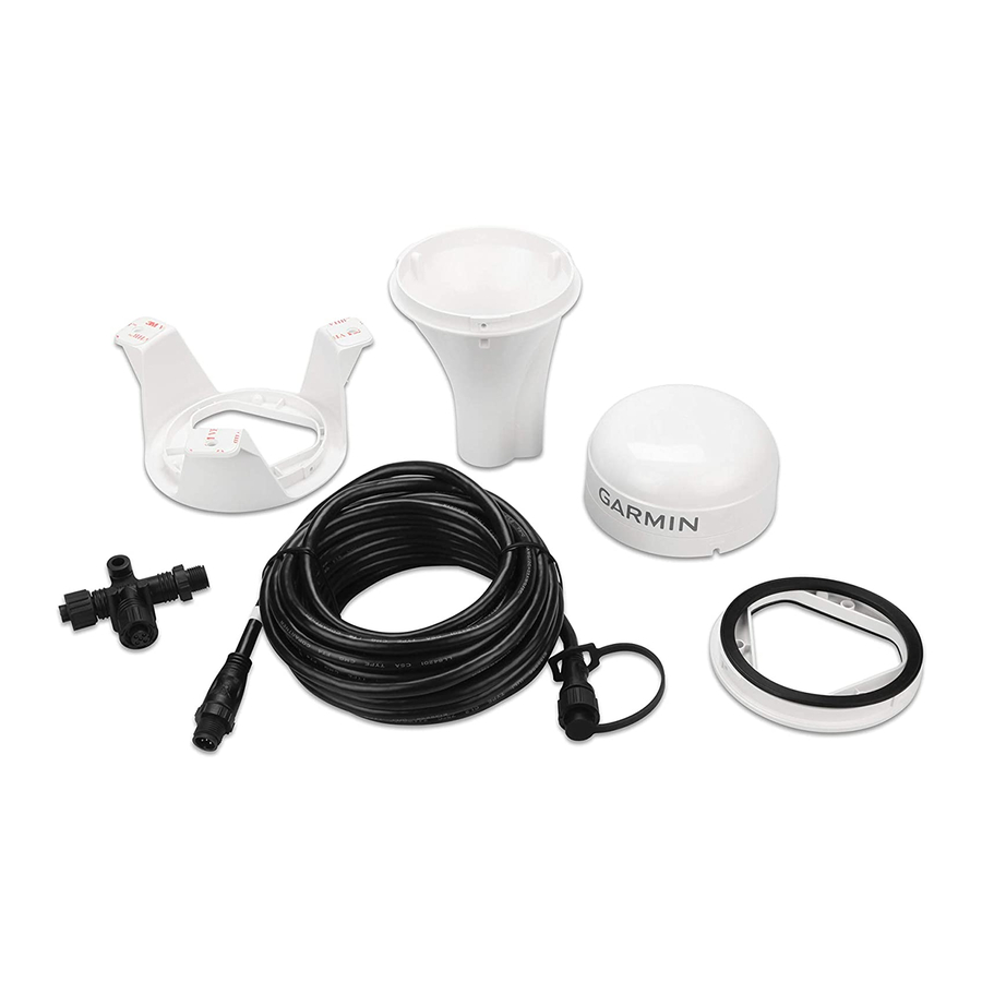
The antenna is packaged with a NMEA 2000 T-connector and a
NMEA 2000 drop cable. You will use these two components to
connect the antenna to your existing NMEA 2000 network.
If the included drop cable is not long enough, you can add a
drop cable extension up to 4 m (13 ft.). If more cable is needed,
add an extension to your NMEA 2000 backbone, based on the
NMEA 2000 guidelines.
Antenna
NMEA 2000 drop cable
NMEA 2000 T-connector
NMEA 2000 backbone
Antenna Configuration
To access the NMEA 2000 configuration menu on your Garmin
device, consult the documentation provided with your device.
While viewing the NMEA 2000 configuration menu on your
Garmin device, you must select the antenna, then select
Review to change these settings.
on the under-deck mounting
.
WAAS/EGNOS: Enables WAAS (Wide Area Augmentation
System in North America) and EGNOS (European
Geostationary Navigation Overlay Service) to provide more
accurate position information.
Speed Filter: Enables data averaging to provide smoother
position updates, reducing unnecessary drift-alarm triggers.
You can enable it when stationary or for lower speeds when it
is most helpful, or disable it for higher speeds.
Auto Locate: Allows you to clear cached satellite data, forcing
the device to acquire new data. This can be helpful if you
have moved the boat many miles without using the antenna.
GLONASS: Enables GLONASS (Global Navigation Satellite
System in Russia) satellites.
Factory Defaults: Allows you to reset the antenna to factory
default. You will lose all custom configuration settings.
Cleaning the Outer Casing
Avoid chemical cleaners and solvents that can damage plastic
components.
1
Clean the outer casing of the device using a cloth dampened
with a mild detergent solution.
2
Wipe the device dry.
Appendix
Software Update
You must update the Garmin chartplotter software when you
install this device. For instructions on updating the software, see
your chartplotter owner's manual at support.garmin.com.
Specifications
Dimensions (diameter x height) 91.6 × 49.5 mm ( 3
Weight
NMEA 2000 drop cable length 6 m (19 ft., 8 in.)
Temperature range
Case material
Water rating
Compass-safe distance
Power input source
Input current
NMEA 2000 LEN @ 9 Vdc
NMEA 2000 draw
NMEA 2000 PGN Information
Transmit
059392
060928
126208
126464
126992
126996
129025
129026
129029
129539
129540
®
1
The device withstands incidental exposure to water of up to 1 m for up to 30 min.
For more information, go to www.garmin.com/waterrating.
NOTICE
19
15
/
× 1
32
201 g (7.1 oz.)
From -30° to 80°C (from -22° to 176°F)
Fully gasketed, high-impact plastic
alloy
1
IEC 60529 IPX7
150 mm (5.9 in.)
9 to 16 Vdc, unregulated
40 mA @ 12 Vdc
2 (100 mA)
40 mA @ 12 Vdc
ISO acknowledgment
ISO address claimed
Request group function
Transmit and receive PGN list
group function
System time
Product information
Position: Rapid update
COG and SOG: Rapid update
GNSS position data
GNSS DOPs
GNSS Sats in view
/
in.)
16
3
