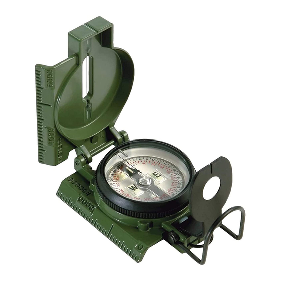
Cammenga PRECISION LENSATIC Buklet Instruksional - Halaman 10
Jelajahi secara online atau unduh pdf Buklet Instruksional untuk Kompas Cammenga PRECISION LENSATIC. Cammenga PRECISION LENSATIC 16 halaman.

2nd Method - With no declination diagram shown on the map.
1. Find the magnetic declination value in the map margin.
This will state the difference between True North and
Magnetic North to be so many degrees East or West.
Example: Magnetic declination 11 degrees West means The
North arrow of the lensatic compass will point 11 degrees
West of True North.
2. Place the fully opened compass on the map with the scale
edge alongside a North/South meridian (longitudinal line, grid
line). The case cover should be pointing toward the top of the
map.
3. Turn the map and the compass together until the North
arrow of the Dial is the same number of degrees East or West
of the Index Line as stated on the map. The map is now
oriented to the terrain.
3rd Method - When your position on the map is known.
1. Select a prominent terrain feature on the ground that can
also be located on the map.
2. Sight an azimuth from your position on the ground to the
selected terrain feature.
3. Align the fully opened compass on the map so that the
scale edge runs through the selected terrain feature and your
known position.
4. Turn the map and compass together until the azimuth
sighted lies under the Index Line. The map is now oriented to
the terrain.
8
