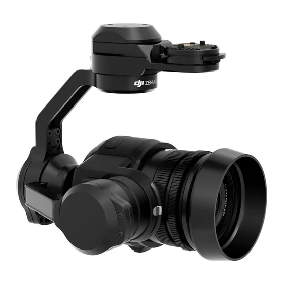
dji Zenmuse X5 Panduan Pengguna - Halaman 12
Jelajahi secara online atau unduh pdf Panduan Pengguna untuk Kamera Digital dji Zenmuse X5. dji Zenmuse X5 18 halaman. For inspire 1 pro
Juga untuk dji Zenmuse X5: Panduan Pengguna (17 halaman), Panduan Pengguna (11 halaman), Panduan Pengguna (18 halaman), Manual (11 halaman)

INSPIRE 1 PRO User Manual
[11] Aircraft Distance
: The distance of the aircraft from the Home Point. When the aircraft is near the ground, this icon
will change to
[12] Flight Telemetry
Flight attitude is indicated by the flight attitude icon.
(1) The red arrow shows which direction the aircraft is facing.
(2) Light blue and dark blue areas indicate pitch.
(3) The angle of the boundary between the light blue and dark blue areas indicates the roll angle.
[13] Home Point Settings
: Tap this button to reset the current home point. You may choose to set the aircraft take-off
location, the remote controller's current position, or the aircraft's current position as the Home Point.
[14] Return to Home (RTH)
: Initiate RTH home procedure. Tap to have the aircraft return to the latest home point.
[15] Gimbal Operation Mode
Refer to "Gimbal Operation Mode" P42 for more information.
[16] Auto Takeoff/Landing
/
: Tap to initiate auto takeoff or landing.
[17] Livestream
: Livestream icon indicates the current video feed is broadcasting live on YouTube. Be sure the
mobile data service is available on the mobile device.
[18] Back
: Tap to return to the main GUI.
Library
View, edit and share your artwork all in one place. The Library has a range of simple but powerful tools
that let you edit your videos and photos before sharing them online, minutes after they are captured.
Explore
Find out about our latest events, featured products and trending Skypixel uploads in the Explore page.
Me
If you already have a DJI account, you will be able to participate in forum discussions, earn Credits in the
DJI Store, and share your artwork with the community
48
©
2016 DJI. All Rights Reserved.
to display the height the Vision Position System's sensors from the ground.
