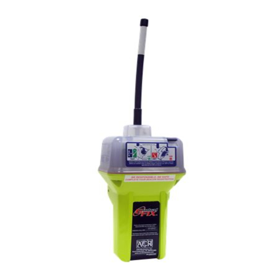
ACR Electronics GlobalFix 406 Panduan Dukungan Produk - Halaman 12
Jelajahi secara online atau unduh pdf Panduan Dukungan Produk untuk GPS ACR Electronics GlobalFix 406. ACR Electronics GlobalFix 406 16 halaman. Emergency position indicating radio beacon fcc type accepted
Juga untuk ACR Electronics GlobalFix 406: Panduan Dukungan Produk (13 halaman)

5.4
Shore Based Maintenance (SBM) for SOLAS Vessels , IMO Circ. 1040
The Maritime Safety Committee approved guidelines for shore-based maintenance of satellite EPIRBs, for the
purpose of establishing standardized procedures and minimum levels of service for the testing and
maintenance of satellite EPIRBs. MSC/Circ. 1039. First Shore Based Maintenance on all ACR EPIRBs is due
at the date of the first battery replacement. See our website at www. acrelectronics.com for more information.
5.5
Annual Testing IMO Circ. 1039
SOLAS regulation IV/15.9 dictates annual testing of 406 MHz satellite EPIRBs. Testing should be carried out
using suitable test equipment capable of performing the relevant measurements. All checks of electrical
parameters should be performed in the self-test mode, if possible. See our website at www.
acrelectronics.com for more information
SECTION 6 – THE SEARCH AND RESCUE SYSTEM
6.1
General Overview
Beacons provide distress alerts via radio transmission on 406 MHz to the LEOSAR satellites of the COSPAS-
SARSAT network. The GlobalFix™ can also transmit a distress alert to the GEOSAR network that includes
GPS latitude and longitude coordinates that are acquired by the internal GPS.
The message transmitted is unique for each beacon, which provides identification of the transmitter through
computer access of registration files maintained by the National Oceanic and Atmospheric Administration or
other national authority. Remember, if your beacon is not registered, Search and Rescue (SAR) authorities
do not know who you are, or how to contact anyone who might know anything about your situation (Refer to
section 1).
Once the 406 MHz signal is relayed through the LEOSAR and/or GEOSAR network, SAR forces determine
who is closest, and then proceed to the beacon using the 121.5 MHz homing frequency.
6.2
Satellite Detection
EPIRBs transmit to the satellite portion of the COSPAS-SARSAT system. COSPAS-SARSAT is an
international system that uses Russian Federation and United States low altitude, near-polar orbiting satellites
(LEOSAR) that assist in detecting and locating activated 406 MHz satellite beacons.
COSPAS and SARSAT satellites receive distress signals from EPIRBs transmitting on the frequency of 406
MHz. The COSPAS-SARSAT 406 MHz beacon signal consists of a transmission of non-modulated carriers
followed by a digital message format that provides identification data. The 406 MHz system uses Satellite-
borne equipment to measure and store the Doppler-shifted frequency along with the beacons digital data
message and time of measurement. This information is transmitted in real time to an earth station called the
Local User Terminal (LUT), which may be within the view of the satellite, as well as being stored for later
transmission to other LUTs.
The LUT processes the Doppler-shifted signal from the LEOSAR and determines the location of the beacon;
then the LUT relays the position of the distress to a Mission Control Center (MCC) where the distress alert and
location information is immediately forwarded to an appropriate Rescue Coordination Center (RCC). The RCC
dispatches Search and Rescue (SAR) forces.
The addition of the GEOSAR satellite system greatly improves the reaction time for a SAR event. This satellite
system has no Doppler capabilities at 406 MHz, but will relay the distress alert to any of the LUT stations.
When there is GPS data included in the distress message, SAR authorities instantly know your location to
within 110 yards (100 m). This speeds up the reaction time by not having to wait for one of the LEOSAR
satellite to pass overhead. Because most of the search and rescue forces presently are not equipped to home
in on the 406 MHz Satellite beacons signal, homing must be accomplished at 121.5 MHz.
6.3
Global Positioning System (GPS)
The GPS system is a satellite group that enables a GPS receiver to determine its exact position to within 30 m
(100 ft.) anywhere on earth. With a minimum of 24 GPS satellites orbiting the earth at an altitude of
approximately 11,000 miles they provide users with accurate information on position, velocity, and time
anywhere in the world and in all weather conditions. The GlobalFix™ stores this data into its distress
transmission allowing search and rescue forces to narrow the search into a very small area and thus minimize
the resources required and dramatically increases the effectiveness of the overall operation.
9
Y1-03-0157 Rev. F
