- ページ 23
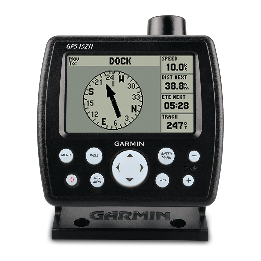
船舶用GPSシステム Garmin GPS 152HのPDF オーナーズマニュアルをオンラインで閲覧またはダウンロードできます。Garmin GPS 152H 32 ページ。 Declaration of conformity
Garmin GPS 152H にも: クイック・スタート・マニュアル (49 ページ), 取付説明書 (36 ページ), 重要な安全情報 (48 ページ), 適合宣言 (6 ページ)
The top of the screen displays the tide station. The top of the chart
shows a 24-hour block of local time (LCL) for your position, with
the reported station time (STA) appearing at the bottom. The solid,
light vertical lines are in 4-hour increments, and the light, dotted
vertical lines are in 1-hour increments. A dark, vertical line indicates
the current time.
High tide
Maximum tide level
Minimum tide level
Low tide
The four data fields below the chart indicate event times and levels
at which the tide changes.
To view tide information for a different date:
1. From any Main page, press
2. Press Menu, and select
Modify Station
3. Select the Date field and enter text as described on
GPS 152H Owner's Manual
Present tide level
Present tme
Menu
twice and highlight Tide.
Opt.
page
To select the tide station nearest your location:
1. From any Main page, press
2. Press Menu, and select
nearest tide station appears along the top of the screen.
Note: You must be within 100 nautical miles of a tide station to
use this feature.
2.
Menu
twice and highlight Tide.
Nearest Tide
Station. The name of the
Settings
1