- ページ 16

カメラレンズ Nikon D200のPDF 操作マニュアルをオンラインで閲覧またはダウンロードできます。Nikon D200 23 ページ。 Exploring
Nikon D200 にも: パンフレット&スペック (13 ページ), パンフレット (7 ページ), セットアップマニュアル (2 ページ), パンフレット&スペック (18 ページ), パンフレット (14 ページ), 仕様 (2 ページ), 特徴と比較表 (1 ページ), ユーザーマニュアル (19 ページ), 仕様 (2 ページ), クイック・スタート・マニュアル (2 ページ), マニュアル (25 ページ), クイック・スタート・マニュアル (9 ページ)
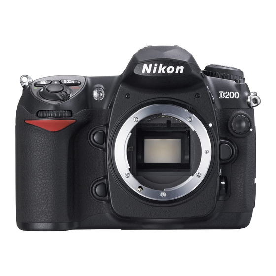
Nikon D200 操作マニュアル
The Myakka Bridge in Charlotte County, FL was located by scrolling around the map. If
an address is available for the target, it can be entered to find it on the map using the
search feature.
The computer cursor is pointed at the center of the bridge. The longitude
and latitude of the pointer is listed to the right of the map. Move
cursor to any location on the map to get Lat/Long.
To fly a constant distance circle around the target, have the flight crew enter the Lat/long
of the center of the target into the aircraft GPS. The flight crew then selects "Go To" and
the distance to the target center will appear on the GPS screen. Keep the distance constant
to fly a circle around the target.
Some spot photography missions require that the flight path around the target be a
rectangle. With a computer mapping program the Lat/long of the corner points can be
quickly determined using the Draw tool in Street Atlas to define the flight path.
16
the