- ページ 9
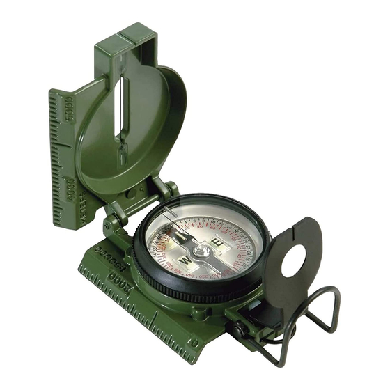
コンパス Cammenga PRECISION LENSATICのPDF 取扱説明書をオンラインで閲覧またはダウンロードできます。Cammenga PRECISION LENSATIC 16 ページ。

a. Head for the point on the travel path that is beside the
alternative steering mark. At this position sight a back
azimuth to the old steering mark. A back azimuth is 180
degrees away from a traveled azimuth. If traveled azimuth is
less than 180 degrees, add 180 degrees. If traveled azimuth
is more than 180 degrees, subtract 180 degrees.
b. The correct back azimuth of the desired azimuth is 340
degrees which is 180 degrees plus the desired azimuth of
160 degrees; therefore, you will have to move perpendicular
to your path until you can sight a back azimuth of 340
degrees to the old steering mark. You are now back on your
correct originally desired course.
Correct Back Azimuth
Old
340°, 5040 mils
Steering Mark
X
Path
(FIGURE 3b)
4. In darkness, use steering marks that are closer together
and have a distinct silhouette against the sky.
F. DECLINATION ADJUSTMENT (ORIENTING A MAP)
1st Method - Using the maps declination diagram. (see fig. 4,
section I)
Place the fully opened lensatic compass on map with the
scale edge alongside the Magnetic North line of the
declination diagram. Adjust the map (with compass on it) so
that the compass cover points to Magnetic North (North
arrow of compass is pointing directly to the Index Line). The
map is now oriented to the terrain.
7
