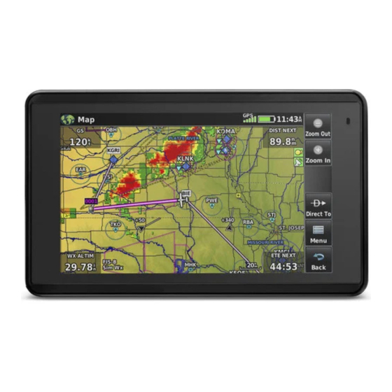
Garmin AERA 660 빠른 참조 매뉴얼 - 페이지 11
{카테고리_이름} Garmin AERA 660에 대한 빠른 참조 매뉴얼을 온라인으로 검색하거나 PDF를 다운로드하세요. Garmin AERA 660 47 페이지.
Garmin AERA 660에 대해서도 마찬가지입니다: 빠른 시작 매뉴얼 (17 페이지)

Tools
NEAREST ICONS
From the Main Menu, touch the
Touch the following Nearest Group Icons to display the associated function:
Airport
Airport WX Displays nearest airport weather.
VOR
NDB
Intersection Displays nearest intersections.
VRP
User WPT
City
ARTCC
FSS
Airspace
WEATHER ICONS (GDL 39)
From the Main Menu, touch the Weather icon to access the Weather Page.
Touch the following Weather Group Icons to display the weather product:
NEXRAD Radar
Winds Aloft
Temps Aloft
METAR
AIRMET
190-02017-10 Rev. A
Displays second-level Tools Icons.
Displays nearest airports.
Displays nearest VORs.
Displays nearest NDBs.
Displays nearest Visual Reporting Point (VRP) (Atlantic).
Displays nearest user waypoints.
Displays nearest cities.
Displays nearest ARTCCs (Air Route Traffic Control Centers).
Displays nearest Flight Service Stations (FSS).
Displays nearest airspace.
Displays NEXRAD (NEXt-generation RADar).
Displays Winds Aloft.
Displays Temperatures Aloft.
Displays METARs.
Displays AIRMETs.
Garmin aera 660 Quick Reference Guide
icon to access the Nearest Page.
Overview
9
