A
PPENDIX
What is GPS?
The Global Positioning System (GPS) is a satellite-based navigation
system made up of a network of 24 satellites placed into orbit by the
U.S. Department of Defense. GPS was originally intended for military
applications, but the government made the system available for civilian
use in the 1980s. GPS works in any weather condition, anywhere in the
world, 24 hours a day. There are no subscription fees or setup charges to
use GPS.
A GPS receiver must be locked on to the signal of at least three GPS
satellites to calculate a 2D position (latitude and longitude) and track
movement. With four or more satellites in view, the receiver can
determine your 3D position (latitude, longitude, and altitude). Once your
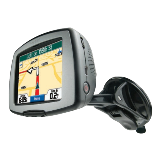
position has been determined, the receiver can display it on the c330's
Map
page and calculate other information, such as speed and bearing.
What is WAAS?
The Wide Area Augmentation System (WAAS) is an FAA-funded project
to improve the overall integrity of the GPS signal and increase position
accuracy for users in North America. The system is made up of satellites
24
and approximately 25 ground reference stations positioned across the
United States that monitor GPS satellite data. Two master stations,
located on either coast, collect data from the reference stations and create
a GPS data correction message.
According to the FAA's Web site, testing in September 2002 of WAAS
confirmed an accuracy performance of 1–2 meters horizontal and 2–3
meters vertical throughout the majority of the continental United States
and portions of Alaska. For more information, go to
http://gps.faa.gov/Programs/WAAS/waas.htm.
WAAS is just one service provider that adheres to the MOPS
(Minimum Operational Performance Standard) for global Satellite
Based Augmentation Systems (SBAS). Eventually, there will be several
services of worldwide geostationary communication satellites and ground
reference stations.
Currently, enabling WAAS on your c330 in regions that are not supported
can degrade the accuracy. For this reason, when you enable WAAS on
your c330, the receiver automatically uses the method that achieves the
best accuracy. To enable WAAS, refer to page 20.
c330 Owner's Manual

