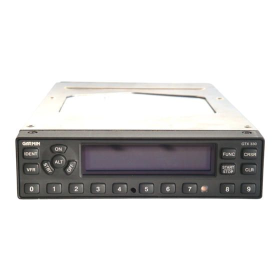
Garmin GTX 330 파일럿 매뉴얼 부록 - 페이지 12
{카테고리_이름} Garmin GTX 330에 대한 파일럿 매뉴얼 부록을 온라인으로 검색하거나 PDF를 다운로드하세요. Garmin GTX 330 50 페이지. Equipment supplement
Garmin GTX 330에 대해서도 마찬가지입니다: 파일럿 매뉴얼 부록 (50 페이지), 파일럿 매뉴얼 (12 페이지), 파일럿 매뉴얼 (13 페이지), 파일럿 매뉴얼 (8 페이지), 파일럿 매뉴얼 (6 페이지), 파일럿 매뉴얼 (13 페이지), 매뉴얼 (8 페이지), 설치 매뉴얼 (49 페이지)

Part One: Section 2
TIS Controls and Display
Highlighting TIS Traffic Using Map Page Panning
Another Map Page feature is panning, which allows
you to move the map beyond its current limits without
adjusting the map scale. When you select the panning
function — by pressing the small right knob — a
target pointer will flash on the map display. A window
also appears at the top of the map display showing
the latitude/longitude position of the pointer, plus the
bearing and distance to the pointer from your present
position.
Displaying traffic range and altitude separa-
tion using the Map Panning feature.
To activate the panning feature and pan
the map display:
1.
Press the small right knob to activate the panning
target pointer.
Turn the small right knob to move up (turn clock-
2.
wise) or down (counterclockwise).
3.
Turn the large right knob to move right (turn
clockwise) or left (counterclockwise).
4.
To cancel the panning function and return to your
present position, press the small right knob.
When the target pointer is placed on traffic, the
traffic range and altitude separation are displayed.
8
