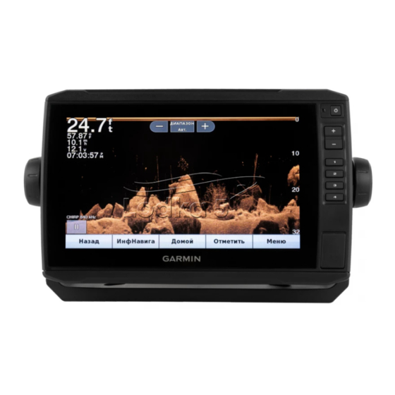
Garmin echomap 40 series 소유자 매뉴얼 - 페이지 21
{카테고리_이름} Garmin echomap 40 series에 대한 소유자 매뉴얼을 온라인으로 검색하거나 PDF를 다운로드하세요. Garmin echomap 40 series 50 페이지. Vhf comm
Garmin echomap 40 series에 대해서도 마찬가지입니다: 설치 지침 매뉴얼 (15 페이지), 소유자 매뉴얼 (32 페이지), 적합성 선언 (1 페이지), 파일럿 매뉴얼 (22 페이지), 소유자 매뉴얼 (30 페이지)
4
Select an option:
• To change the name, select Name, and enter the name.
• To select a waypoint from the turn list, select Edit Turns >
Use Turn List, and select a waypoint from the list.
• To select a turn using the chart, select Edit Turns > Use
Chart, and select a location on the chart.
Browsing for and Navigating a Saved Route
Before you can browse a list of routes and navigate to one of
them, you must create and save at least one route.
1
Select Nav Info > Routes & Auto Guidance Paths.
2
Select a route.
3
Select Navigate To.
4
Select an option:
• To navigate the route from the starting point used when
the route was created, select Forward.
• To navigate the route from the destination point used
when the route was created, select Backward.
A magenta line appears. In the center of the magenta line is
a thinner purple line that represents the corrected course
from your present location to the destination. The corrected
course is dynamic, and it moves with your boat when you are
off course.
5
Review the course indicated by the magenta line.
6
Follow the magenta line along each leg in the route, steering
to avoid land, shallow water, and other obstacles.
7
If you are off course, follow the purple line (corrected course)
to go to your destination, or steer back to the magenta line
(direct course).
Browsing for and Navigating Parallel to a Saved
Route
Before you can browse a list of routes and navigate to one of
them, you must create and save at least one route.
1
Select Nav Info > Routes & Auto Guidance Paths.
2
Select a route.
3
Select Navigate To.
4
Select Offset to navigate parallel to the route, offset from it
by a specific distance.
5
Indicate how to navigate the route:
• To navigate the route from the starting point used when
the route was created, to the left of the original route,
select Forward - Port.
• To navigate the route from the starting point used when
the route was created, to the right of the original route,
select Forward - Starboard.
• To navigate the route from the destination point used
when the route was created, to the left of the original
route, select Backward - Port.
• To navigate the route from the destination point used
when the route was created, to the right of the original
route, select Backward - Starboard.
A magenta line appears. In the center of the magenta line is
a thinner purple line that represents the corrected course
from your present location to the destination. The corrected
course is dynamic, and it moves with your boat when you are
off course.
6
Review the course indicated by the magenta line.
7
Follow the magenta line along each leg in the route, steering
to avoid land, shallow water, and other obstacles.
8
If you are off course, follow the purple line (corrected course)
to go to your destination, or steer back to the magenta line
(direct course).
Navigation with a Chartplotter
Deleting a Saved Route
1
Select Nav Info > Routes & Auto Guidance Paths.
2
Select a route.
3
Select Delete.
Deleting All Saved Routes
Select Nav Info > Manage Data > Clear User Data >
Routes & Auto Guidance Paths.
Auto Guidance
The Auto Guidance feature is based on electronic chart
information. That data does not ensure obstacle and bottom
clearance. Carefully compare the course to all visual sightings,
and avoid any land, shallow water, or other obstacles that may
be in your path.
NOTE: Auto Guidance is available with premium charts, in some
areas.
You can use Auto Guidance to plot the best path to your
destination. Auto Guidance uses your chartplotter to scan chart
data, such as water depth and known obstacles, to calculate a
suggested path. You can adjust the path during navigation.
Setting and Following an Auto Guidance Path
1
Select a destination
(Destinations, page
2
Select Navigate To > Auto Guidance.
3
Review the path, indicated by the magenta line.
4
Select Start Navigation.
5
Follow the magenta line, steering to avoid land, shallow
water, and other obstacles.
NOTE: When using Auto Guidance, a gray segment within
any part of the magenta line indicates that Auto Guidance
cannot calculate part of the Auto Guidance line. This is due to
the settings for minimum safe water depth and minimum safe
obstacle height.
Creating an Auto Guidance Path
1
Select Navigation > Routes & Auto Guidance Paths > New
> Auto Guidance.
2
Select SELECT, and choose a destination point.
Filtering a List of Routes and Auto Guidance Paths
You can filter a list of routes and Auto Guidance paths to quickly
find a saved destination.
1
Select MENU > Filter.
2
Select an option.
Reviewing an Auto Guidance Path
1
From the Navigation chart, select a path.
2
Select an option:
• To view a hazard and adjust the hazard path, select
Hazard Review.
• To change the path name, or to adjust or recalculate the
path, select Edit.
• To delete a path, select Delete.
• To navigate the selected path, select Navigate To.
Adjusting an Auto Guidance Path
1
From the Navigation chart, follow the on-screen instructions
or use the arrow keys to move the destination point to the
new location.
2
Select SELECT > Move Point.
3
Select BACK to return to the navigation screen.
Canceling an Auto Guidance Calculation in Progress
From the Navigation chart, select MENU > Cancel.
CAUTION
13).
15