AvMap GeoPilot II 빠른 매뉴얼 - 페이지 5
{카테고리_이름} AvMap GeoPilot II에 대한 빠른 매뉴얼을 온라인으로 검색하거나 PDF를 다운로드하세요. AvMap GeoPilot II 13 페이지. Avmap geopilot ii: quick start

the list of stored Flight Plans.
Auto Position Mode
It is possible to select the Auto Zoom mode, Home Auto mode or deactivate the
function.
Data Window Mode
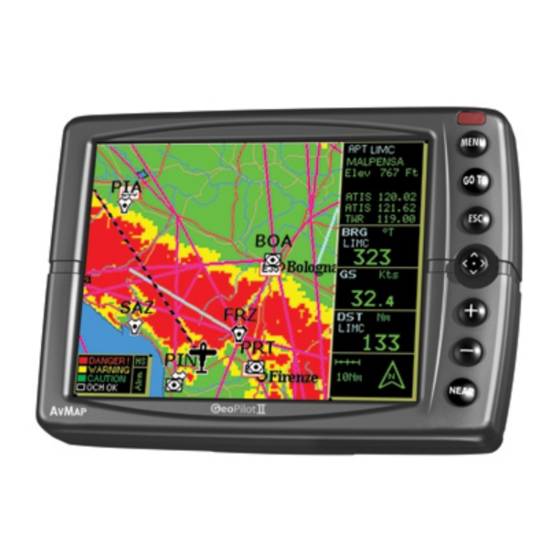
This window provides navigation information relating to the Flight Plan and GPS data.
Setup Data Fields
You can select the item to be displayed in each of the fields of the Data Window.
Map Orientation
Map Orientation controls the direction that the Moving Map is pointing to.
Map Presentation
Map Presentation allows you to select the priority of the map display and color
selections among
AERO+TERRESTRIAL/AERONAUTICAL/MARINE settings.
Selective Display
The Selective Display feature allows you to further customize the display by selecting
thechart scale level at which the category of data will begin displaying on the map.
POI Settings
This feature is similar to the Selective Display, but refers to the Points of Interest
(POI).
Automatic Info
The display of Automatic Information is
controlled by this setting.
VFR, Airspace, Land, Marine and
other Settings
The following menus enable/disable the
display of categories of data.
Terrains
With this you can enable/disable Terrain
Depiction or the TAWS.
