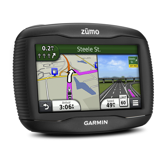
Garmin ZUMO 340 Owner's Manual - Page 16
Browse online or download pdf Owner's Manual for GPS Garmin ZUMO 340. Garmin ZUMO 340 25 pages. Declaration of conformity
Also for Garmin ZUMO 340: Installation Instructions Manual (46 pages), (French) Declaration De Conformite (5 pages)

Internal antenna
Power LED
Vehicle power adapter
About the Traffic Icon
When you are receiving traffic information, a traffic icon appears
on the map. The traffic icon changes color to indicate the
severity of traffic conditions.
Green: Traffic is flowing freely.
Yellow: Traffic is moving, but there is a delay. There is
moderate traffic congestion.
Red: Traffic is not moving or moving very slowly. There is a
severe delay.
Gray: Traffic information is not available.
Traffic on Your Route
When calculating your route, the device examines the current
traffic and automatically optimizes the route for the shortest
time. If a severe traffic delay occurs on your route while you are
navigating, your device automatically recalculates the route.
The traffic icon
changes color to indicate the severity of
traffic conditions on your route or on the road you are currently
traveling.
Your device may route you through a traffic delay if a better
alternative route does not exist. The delay time is added into
your estimated time of arrival automatically.
Viewing Traffic on Your Route
1
While navigating a route, select
2
Select Traffic on Route.
A list of traffic events appears, organized by their location on
the route.
3
Select an event.
Manually Avoiding Traffic on Your Route
1
From the map, select
2
Select Traffic on Route.
3
If necessary, use the arrows to view other traffic delays on
your route.
4
Select
> Avoid.
Taking an Alternate Route
1
While navigating an automobile route, select
2
Select Alternate Route.
3
Select a route.
Viewing Traffic on the Map
The traffic map shows color-coded traffic flow and delays on
nearby roads.
1
From the map, select
2
Select Traffic Conditions.
Traffic in Your Area
Searching for Traffic Delays
1
From the map page, select
2
Select Traffic Conditions >
3
Select an item in the list.
4
If there is more than one delay, use the arrows to view
additional delays.
Viewing a Traffic Incident on the Map
1
From the map, select
2
Select Traffic Conditions.
3
Select a traffic icon.
12
.
.
.
.
.
.
.
Understanding Traffic Data
The traffic legend explains the icons and colors used on the
traffic map.
1
From the map, select
2
Select Traffic Legend .
Traffic Subscriptions
Subscription Activation
You do not need to activate the subscription included with your
FM traffic receiver. The subscription activates automatically
after your device acquires satellite signals while receiving traffic
signals from the pay service provider.
Adding a Subscription
You can purchase traffic subscriptions for other regions or
countries.
1
From the main menu, select Traffic.
2
Select an option:
• For non-North American units, select Subscriptions >
• For North American units, select Add Phone.
3
Write down the FM traffic receiver unit ID.
4
Go to
www.garmin.com/fmtraffic
and get a 25-character code.
The traffic subscription code cannot be reused. You must
obtain a new code each time you renew your service. If you
own multiple FM traffic receivers, you must obtain a new
code for each receiver.
5
Select Next on the device.
6
Enter the code.
7
Select Done.
Disabling Traffic
1
Select Traffic > Traffic.
2
Clear the Traffic check box.
The device no longer receives live traffic data, but will still avoid
potentially congested areas using routes still avoid potentially
congested areas using trafficTrends, if enabled
Data Management
About Data Management
You can store files, such as JPEG image files, on your device.
The device has a memory card slot for additional data storage.
NOTE: The device is not compatible with Windows ® 95, 98,
Me, Windows NT ® , and Mac ® OS 10.3 and earlier.
File Types
The device supports these file types.
• Maps and GPX waypoint files from myGarmin™ mapping
software, includingMapSource ® , BaseCamp™, and
HomePort™
(page
16).
• GPI custom POI files from Garmin POI Loader
About Memory Cards
You can purchase memory cards from an electronics supplier,
or purchase pre-loaded Garmin mapping software
(www.garmin.com/trip_planning). In addition to map and data
storage, the memory card can be used to store files such as
maps, images, geocaches, routes, waypoints, and custom
POIs.
Installing a Memory Card
The device supports microSD™ and microSDHC memory cards.
> Traffic.
to purchase a subscription
(page
14).
(page
Data Management
.
16)
