Hi-Target V200 Snelstarthandleiding - Pagina 2
Blader online of download pdf Snelstarthandleiding voor {categorie_naam} Hi-Target V200. Hi-Target V200 2 pagina's. Gnss rtk system
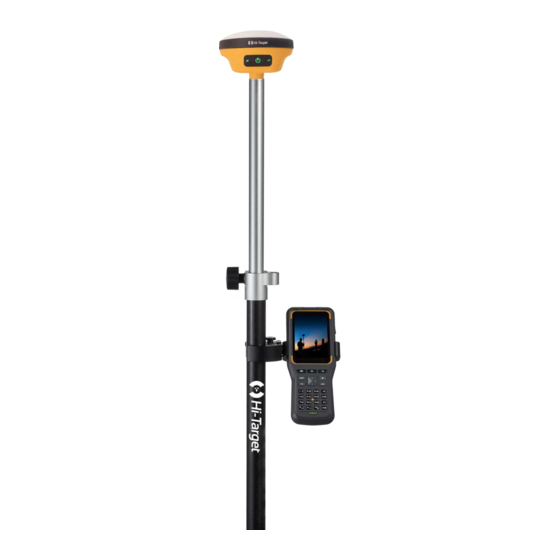
V200
Good things come in small packages
V200 GNSS RTK Receiver brings superior performance and high efficiency to sup-
port your fieldwork with reliable solutions. Its deployment of the advanced RTK
engine and new-generation IMU guarantees a 25% performance improvement even
in the most demanding environments. Thus you can count on Hi-Target V200 for
better productivity.
Key Features
Advanced RTK
Engine
Built-in Radio
More Portability
Equipped with an ultra-light EPP material instrument
case of a high anti-strong impact, shock and impact
resistance and a centering rod that can be contracted to
1.25 m, making it durable and portable in the fieldwork.
Greater Flexibility
It can bring accurate and reliable results and boost effi-
cient fieldwork with self-developed built-in IMU and core
algorithm.
Full-Constellation
Web UI
Tracking
NFC
NFC
Compatibility with
third-party software
13.2CM
50%
weight
reduction
Previous IMU
New generation IMU
12 Error(cm)
10
8
6
4
2
Tilt Degree(°)
0
10
20
30
40
50
60
Higher Accuracy and Precision
Equipped with the High-Performance Patch Antenna,
enhances the low elevation angle tracking capabilities
and keeps it maintaining a high gain for higher elevation
satellites while tracking low-elevation satellites.
More Stability
Hi-Fix
Hi-Target
enables continuous connectivity and
quality results even if you lose the signal while using the
RTK base station or VRS network under extreme
circumstances.
Hi-Survey Road
Survey Data Collection Software
A
B
Optimized tilt survey and
AR stakeout to guide
a b l e t o c o m p l e t e t h e
directions with the intel-
initialization by shaking
ligent voice and com-
the receiver for 2-5s and
pass.
maintain a high-precision
measurement status for
a long time.
A
B
10°
30-45°
C
D
CAD
U s e r s c a n v i e w t h e
A d v a n c e d C A D d a t a
number of the tracking
management, support-
satellites, PDOP, Eleva-
ing importing files of
tion Mask, the current
DXF, DWG format, and
satellite constellations
achieving data stakeout
and other information in
by the object snap func-
the sky plot interface.
tions of INT, TAN, PER,
etc..
C
D