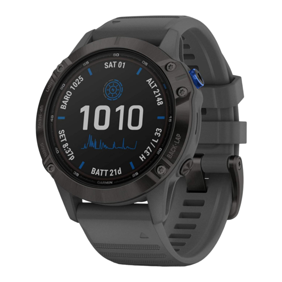
Garmin Fenix 5 Gebruikershandleiding - Pagina 28
Blader online of download pdf Gebruikershandleiding voor {categorie_naam} Garmin Fenix 5. Garmin Fenix 5 48 pagina's. Turn on smart watch of 2022 - go wiki
Ook voor Garmin Fenix 5: Gebruikershandleiding (42 pagina's), Faq (5 pagina's), How-To (8 pagina's)

2
Select an activity.
3
Hold UP.
4
Select Navigation > Points of Interest, and select a
category.
A list of points of interest near your current location appears.
5
If necessary, select an option:
• To search near a different location, select Search Near,
and select a location.
• To search for a point of interest by name, select Spell
Search, enter a name, select Search Near, and select a
location.
6
Select a point of interest from the search results.
7
Select Go.
Navigation information appears.
8
Select
to begin navigation.
Points of Interest
A point of interest is a place that you may find useful or
interesting. Points of interest are organized by category and can
include popular travel destinations such as gas stations,
restaurants, hotels, and entertainment venues.
Creating and Following a Course on Your
Device
1
From the watch face, select
Create New.
2
Enter a name for the course, and select
3
Select Add Location.
4
Select an option.
5
If necessary, repeat steps 3 and 4.
6
Select Done > Do Course.
Navigation information appears.
7
Select
to begin navigation.
Creating a Round-Trip Course
The device can create a round-trip course based on a specified
distance and direction of navigation.
1
From the watch face, select
2
Select Run or Bike.
3
Hold UP.
4
Select Navigation > Round-Trip Course.
5
Enter the total distance for the course.
6
Select a direction heading.
The device creates up to three courses. You can select
DOWN to view the courses.
7
Select
to select a course.
8
Select an option:
• To begin navigation, select Go.
• To view the course on the map and pan or zoom the map,
select Map.
• To view a list of turns in the course, select Turn By Turn.
• To view an elevation plot of the course, select Elevation
Plot.
Marking and Starting Navigation to a Man
Overboard Location
You can save a man overboard (MOB) location, and
automatically start navigation back to it.
TIP: You can customize the hold function of the keys to access
the MOB function
(Customizing the Hot Keys, page
22
> Navigate > Courses >
.
.
31).
From the watch face, select
Navigation information appears.
Navigating with Sight 'N Go
You can point the device at an object in the distance, such as a
water tower, lock in the direction, and then navigate to the
object.
1
From the watch face, select
2
Point the top of the watch at an object, and select
Navigation information appears.
3
Select
to begin navigation.
Navigating to Your Starting Point During an
Activity
You can navigate back to the starting point of your current
activity in a straight line or along the path you traveled. This
feature is available only for activities that use GPS.
1
During an activity, select
2
Select an option:
• To navigate back to the starting point of your activity along
the path you traveled, select TracBack.
• If you do not have a supported map or are using direct
routing, select Route to navigate back to the starting point
of your activity in a straight line.
• If you are not using direct routing, select Route to
navigate back to the starting point of your activity using
turn-by-turn directions.
Your current location
destination
appear on the map.
Navigating to the Starting Point of Your Last
Saved Activity
You can navigate back to the starting point of your last saved
activity in a straight line or along the path you traveled. This
feature is available only for activities that use GPS.
1
Select
> Navigate > Back to Start > Route.
Turn-by-turn directions help you navigate to the starting point
of your last saved activity if you have a supported map or are
using direct routing. A line appears on the map from your
current location to the starting point of the last saved activity
if you are not using direct routing.
NOTE: You can start the timer to prevent the device from
timing out to watch mode.
2
Select DOWN to view the compass (optional).
The arrow points toward your starting point.
Stopping Navigation
1
During an activity, hold UP.
2
Select Stop Navigation.
Map
Your device comes preloaded with maps and can display
several types of Garmin map data, including topographical
contours and nearby points of interest. To purchase additional
> Navigate > Last MOB.
> Navigate > Sight 'N Go.
> Back to Start.
, the track to follow
, and your
.
Navigation
