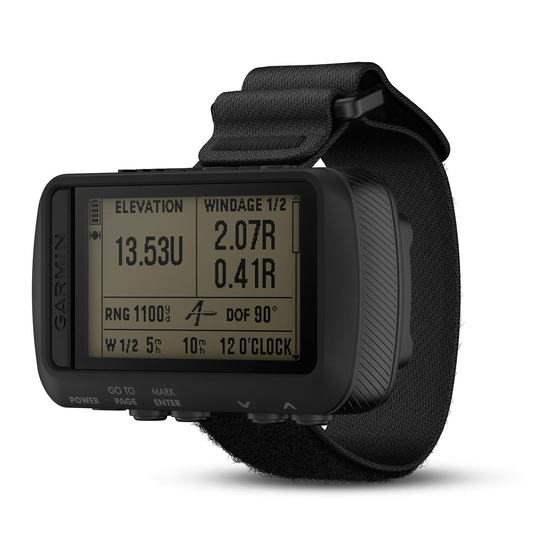
Garmin FORETREX 601 BALLISTIC EDITION Gebruikershandleiding - Pagina 12
Blader online of download pdf Gebruikershandleiding voor {categorie_naam} Garmin FORETREX 601 BALLISTIC EDITION. Garmin FORETREX 601 BALLISTIC EDITION 30 pagina's. Ballistic edition
Ook voor Garmin FORETREX 601 BALLISTIC EDITION: Gebruikershandleiding (18 pagina's)
Viewing Celestial Data and Almanacs
You can view daily almanac information for the sun and moon, and hunting and fishing.
1 From the menu page, select WAYPOINTS > LIST ALL.
2 Select a waypoint.
3 Select OPTIONS.
4 Select an option:
• To view the predicted best dates and times for hunting and fishing at your current location, select HUNT/
FISH.
• To view the sunrise, sunset, moonrise, moonset, and moon phase for a specific date, select SUN/MOON.
5 If necessary, select ENTER to view a different day.
Viewing the Nearest Waypoints
You can view a list of the waypoints that are closest to your current location.
From the menu page, select WAYPOINTS > NEAREST.
Routes
A route is a sequence of waypoints or locations that leads you to your final destination.
Creating and Navigating a Route
1 From the menu page, select ROUTES > CREATE NEW.
2 Select ENTER to view the list of saved waypoints.
3 Select a waypoint to add to the route.
4 Repeat steps 2 and 3 until the route is complete.
5 Select FOLLOW.
6 Select a starting point for navigation.
Navigation information appears.
Viewing Saved Routes
1 From the menu page, select ROUTES > LIST ALL.
2 Select a route.
Deleting All Routes
From the menu page, select ROUTES > DELETE ALL > YES.
Tracks
A track is a recording of your path. The track log contains information about points along the recorded path,
including time, location, and elevation for each point.
Recording a Track
The device records a track log automatically while you are moving. You can save tracks and navigate to them at
another time.
1 From the menu page, select TRACKS > SAVE TRACK.
2 Select
or
to set a beginning point.
3 Select ENTER.
4 Select
or
to set an ending point.
5 Select ENTER.
6 If necessary, select ENTER to edit the track name.
8
Waypoints, Routes, and Tracks