Garmin StreetPilot c510 Gebruikershandleiding - Pagina 22

Blader online of download pdf Gebruikershandleiding voor {categorie_naam} Garmin StreetPilot c510. Garmin StreetPilot c510 42 pagina's. Declaration of conformity
Ook voor Garmin StreetPilot c510: Productinformatieblad (2 pagina's), Gebruikershandleiding (44 pagina's), Productinformatie (4 pagina's), Productinformatie (36 pagina's), Conformiteitsverklaring (1 pagina's), Kenmerken (2 pagina's)
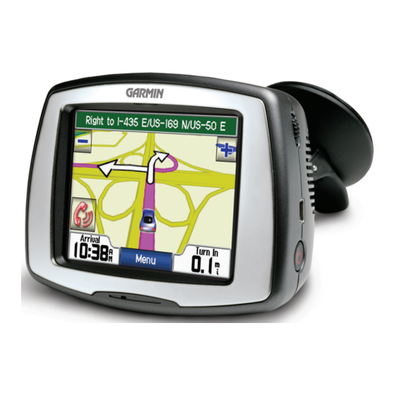
Garmin StreetPilot c510 Gebruikershandleiding
U
FM T
SING
RAFFIC
U
FM T
SING
Use the FM TMC
traffic receiver to receive
Channel)
traffic information broadcast over the
FM Radio Data System. When a traffic
message is received, your c510 displays
the incident on the map and can change
your route to avoid the traffic incident.
For coverage areas, refer to
the Garmin Web site at www.garmin
.com/fmtraffic.
NOTE: The FM traffic receiver and
c510 must be in data range of an FM
station transmitting TMC data to
receive traffic information.
NOTE: Garmin is not responsible
for the accuracy of the traffic
information. The FM traffic receiver
simply receives signals from the
traffic service provider and shows
that information on your c510.
NOTE: You can only access the
traffic information if the c510 is
connected to an FM traffic receiver.
14
RAFFIC
(Traffic Message
Viewing Traffic Incidents
1. On the Menu page, touch
display a list of traffic incidents.
2. Select an item to view details.
3. Select an option.
Traffic Symbols
International
Meaning
Road Condition
Road
Construction
Congestion
Accident
Incident
Information
Severity Color Code
The bars to the left of the traffic symbols
indicate the traffic incident's severity:
Green = Low severity; traffic is flowing
normally.
Yellow = Medium severity; traffic is a
bit congested.
Red = High severity; traffic is heavily
congested or stopped.
to
North
American
c510 Owner's Manual