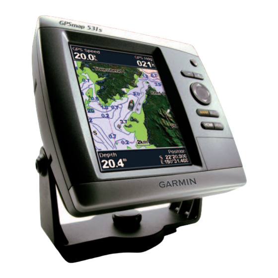
Garmin GPSMAP 546 Gebruikershandleiding - Pagina 11
Blader online of download pdf Gebruikershandleiding voor {categorie_naam} Garmin GPSMAP 546. Garmin GPSMAP 546 28 pagina's. Gpsmap 400/500 series weather and xm satellite radio supplement
Ook voor Garmin GPSMAP 546: Handleiding voor installatie-instructies (12 pagina's), Referentiehandleiding (2 pagina's)
Surface Winds
Surface wind vectors appear on the Sea Conditions chart using wind
barbs that indicate the direction from which the wind is blowing. A wind
barb is a circle with a tail. The line or flag attached to the tail of the wind
barb indicates the wind speed. A short line represents 5 knots, a long line
represents 10 knots, and triangle represents 50 knots.
Wind Barb Wind Speed Wind Direc-
tion
Calm
5 knots
10 knots
15 knots
20 knots
50 knots
65 knots
GPSMAP 400/500 Series Weather Supplement
Wave Height, Wave Period, and Wave Direction
Wave heights for an area appear as variations in color. Different colors
indicate different wave heights
➊
screen.
➋
➊
The wave period indicates the time (in seconds) between successive waves.
Wave period lines
indicate areas that have the same wave period.
➌
Wave directions appear on the chart using red arrows
each arrow pointer indicates the direction in which a wave is moving.
XM WX Satellite Weather and Cellular Weather
, as shown in the legend
on the left of the
➋
➌
➍
. The direction of
➍
7