Garmin StreetPilot c330 Instrukcja obsługi - Strona 21

Przeglądaj online lub pobierz pdf Instrukcja obsługi dla System nawigacji samochodowej Garmin StreetPilot c330. Garmin StreetPilot c330 37 stron. Garmin c330 personal navigation system
Również dla Garmin StreetPilot c330: Instrukcja obsługi (42 strony), Bezpieczeństwo i informacje o produkcie (32 strony), Karta informacyjna produktu (2 strony), Skrócona instrukcja obsługi (2 strony), Instrukcja konfiguracji (8 strony), Informacje o produkcie (4 strony), Deklaracja zgodności (1 strony), Podręcznik moderatora (16 strony), Podręcznik użytkownika (8 strony), Instrukcja konfiguracji (8 strony)
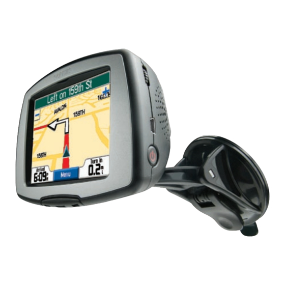
Garmin StreetPilot c330 Instrukcja obsługi
C
330
USTOMIZING THE C

Changing Map Settings

Map Detail—adjust the amount of detail shown on the map.
Displaying more detail causes the map to redraw slowly.
Map View—change the perspective of the Map page.
• Track Up—display the map in 2 dimensions (2-D) with your
direction of travel at the top.
• North Up—display the map in 2-D with North at the top.
• 3 Dimensional—display the map in 3 dimensions (3-D),
Track Up orientation. This is the default map view.
Map Info—list the maps loaded on your c330. Refer to this when
you are ready to update your map software.
Restore—restore the original map settings.
Garmin © 2005
17
c330 Owner's Manual