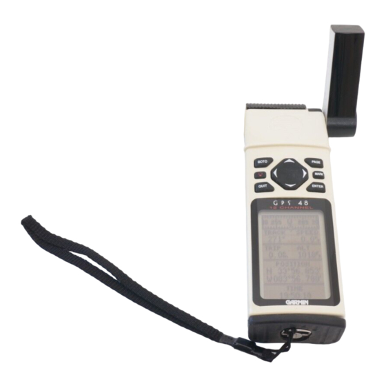
Garmin Personal Navigator GPS 48 Podręcznik uzupełniający
Przeglądaj online lub pobierz pdf Podręcznik uzupełniający dla Morski system GPS Garmin Personal Navigator GPS 48. Garmin Personal Navigator GPS 48 2 stron. Marine handheld gps receiver
Również dla Garmin Personal Navigator GPS 48: Deklaracja zgodności (1 strony), Specyfikacje (2 strony)

Calculate Area
The GPS can now calculate an area using the track log.
Before using the CALC AREA feature you need to clear the track
log. Please refer to your GPS Owner' s Manual for directions on
clearing the track log.
To calculate an area the GPS needs to have a non-linear
track. The GPS will measure the area enclosed between the
fi rst and last points in a track log. If you are intending to use
the CALC AREA feature, do not let the track log cross over
itself. This will cause the unit to subtract and will falsify the
readings.
The unit used to measure the area can be determined
automatically by the GPS or manually set by the user.
To calculate an area:
1. From the Map Page, highlight the 'OPT' selection at the top
of the screen and press ENTER.
2. Highlight 'TRACK SETUP' and press ENTER.
3. Highlight 'CALC AREA' and press ENTER.
To change the area measuring units:
1. Highlight the 'UNITS' fi eld in the CALC AREA menu and
press ENTER.
2. Using the ROCKER, select the unit that you desire and
press ENTER.
Power Save
A new feature 'Power Save' has been added in the System
Setup Menu. Power Save optimizes the GPS receiver to con-
serve battery power. You may notice some delay in screen
updating when making a sudden turn, but use of the Power
Save feature should not negatively affect operation under
normal circumstances.
To activate the Power Save feature:
1. Press the PAGE key to display the SETUP MENU.
2. Select 'SYSTEM SETUP' and press ENTER
3. Highlight the 'MODE' fi eld and press ENTER.
4. Using the ROCKER select 'Power Save' and press ENTER.
Addendum
GPS 12,12XL, 48, 80
Calculate Track Area
Power Save Mode
1
