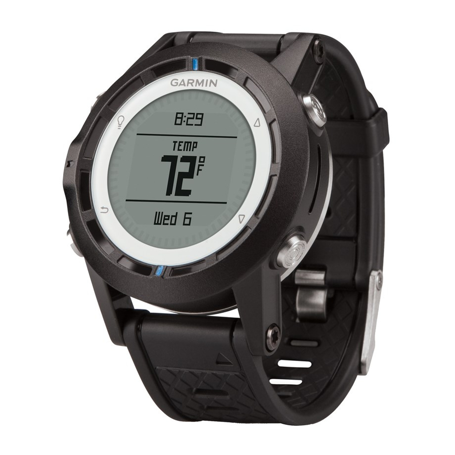
Garmin quatix Instrukcja obsługi - Strona 11
Przeglądaj online lub pobierz pdf Instrukcja obsługi dla Morski system GPS Garmin quatix. Garmin quatix 22 stron. Gps watch
Również dla Garmin quatix: Deklaracja zgodności (6 strony), Skrócona instrukcja obsługi (6 strony), Informacje o produkcie (44 strony)
The device displays in degrees the amount that your actual
course varies from your expected course
over ground
. The bezel marks
that represents your lift angle.
When your boat is consistently headed, you should change tack
and recalibrate the true wind direction or the angle for the
current tack. Recalibration ensures the tack assist provides
accurate information.
Configuring Tack Assist Settings
1
Select the blue key.
2
Select Tack Assist.
3
Select an option:
• To enable tack assist, select Turn On.
• To disable tack assist, select Turn Off.
• To turn bezel tick marks on or off, select Tick Marks.
Calibrating the Tack Assist
Before you can use tack assist, you must calibrate the optimal
tack angle for your boat.
1
Select the blue key.
2
Select Tack Assist > Full Cal..
3
Follow the on-screen instructions.
Calibrating the Tack Assist Manually
During a race, you may need to adjust tack assist settings
individually to adapt to changing conditions.
NOTE: See
page 6
for more information about the relationship
between the data stored by the tack assist feature.
1
Select the blue key.
2
Select Tack Assist.
3
Select an option:
• To recalibrate the port or starboard tack direction, hold a
steady course along the intended port or starboard tack,
and select Recal..
Applications
and your speed
provide a quick reference
NOTE: When you recalibrate the port or starboard tack
direction, the tack angle remains the same, and the mean
true wind direction and the opposite tack direction are
recalculated.
• To change the tack angle, select Tack Angle, and select
an angle.
NOTE: When you change the tack angle, the mean true
wind direction remains the same, and the port and
starboard tacks each change by half of the amount of
change in the tack angle with respect to the true wind
direction. For example, if the tack angle changes by 10º,
the port tack changes by -5º and the starboard tack
changes by 5º. If the tack angle changes by -10º, the port
tack changes by 5º and the starboard tack changes by
-5º.
• To change the mean true wind direction, select True
Wind D, and select the direction.
NOTE: When you change the mean true wind direction,
the tack angle remains the same, and the port and
starboard tack changes are equal to the amount of
change in the mean true wind direction. For example, if
the mean true wind direction changes by 10º, the port and
starboard tacks each change by 10º.
Viewing Tide Information
You can view information about a tide station, including the tide
height and when the next high and low tides will occur.
1
Select the blue key.
2
Select Tides > Search Near.
3
Select an option:
• To search near a previously saved waypoint, select
Waypoints, and select or search for a waypoint.
• To search near a specific city, select Cities, and select or
search for a city.
A list of the tide stations near the selected location appears.
4
Select a station.
A 24-hour tide chart appears for the current date, showing
the current tide height
tides
will occur.
5
Select an option:
• To view more detailed information about the next four tide
peaks and troughs, select
• To pan the tide chart, select the blue key, and select Pan
Chart.
• To view tide information for a different date, select the
blue key, select Change Date, and select the date.
Pairing With an Autopilot
You can refer to the GHC™ owner's manual for more
information about using the GHC.
1
Select the blue key.
2
Select Autopilot > Yes.
3
Set the GHC to search for a remote.
and when the next high
and low
.
7