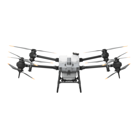
dji Agras T20P Skrócona instrukcja obsługi - Strona 4
Przeglądaj online lub pobierz pdf Skrócona instrukcja obsługi dla Drony dji Agras T20P. dji Agras T20P 15 stron.

4. Drag the map and tap Add to add a point at the location of the crosshair.
5. Tap the field on the map to select it, tap
the route and land automatically.
6. Wait for the app to complete reconstruction. The reconstruction result, an HD map, will be displayed on the origial map.
After reconstruction, users can tap Field Planning and follow step 3 to 6 in the following section to add points and perform operations. Users
can also tap
and start a new aerial surveying operation.
Field Planning and Operation Performing
1. In Operation View, tap Mode button on the upper left corner and select Route in Spraying panel.
2. Select a field in the field list.
3. Select the method for adding points and type of point and add edge points, obstacle points, and round obstacles on the map. Tap
press R3 and save.
4. Tap the field to select it and tap
5. Set parameters such as margin of field, obstacle boundary safety distance, amount of spray, line spacing, flight speed, and spraying
distance. Drag
to adjust the flight direction of the route. Then save.
6. Tap
or press R3, set the Connection Routing and RTH Altitude and Connection Routing and RTH Speed in Pre-Task Auto Check,
and move the slider to start the operation.
● Only take off in open areas and set an appropriate auto-takeoff height according to the operating environment.
● An operation can be paused by moving the control stick slightly. The aircraft will hover and record the breakpoint. After
which, the aircraft can be controlled manually. Pay attention to aircraft safety when returning to a breakpoint.
●In Route Operation mode, the aircraft is able to circumvent obstacles, which is disabled by default and can be enabled in the
app. If the function is enabled and the aircraft detects obstacles, the aircraft will slow down and circumvent the obstacles and
return to the original flight path.
● Users can set the action the aircraft will perform after the operation is completed in the app.
More Operation Modes and Functions
Refer to the Agras T30 User Manual for more information about the A-B Route, Manual, and Manual Plus Operation modes and on how to
use functions such as Smart Supply Reminder, Operation Resumption, System Data Protection, and Empty Tank.
Specifications
Model
Dimensions
Total weight (without batteries)
Total weight (without batteries)
Maximum take-off weight
or press R3, and move the slider to take off. The aircraft will perform aerial surveying along
or press R3.
3WWDZ-20A
2800mm × 3120mm × 640mm (with arms and blades
unfolded)
1560 mm × 1910mm × 640 mm (with arms unfolded and
blades folded)
1087mm × 620mm × 685 mm (with arms folded)
25.2kg
31 kg
57kg
or
