Garmin FORETREX 601 BALLISTIC EDITION Manual do Proprietário - Página 26
Procurar online ou descarregar pdf Manual do Proprietário para Ver Garmin FORETREX 601 BALLISTIC EDITION. Garmin FORETREX 601 BALLISTIC EDITION 30 páginas. Ballistic edition
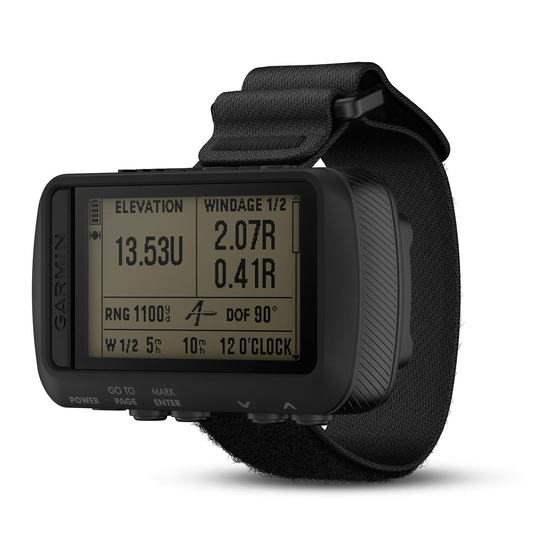
Também para Garmin FORETREX 601 BALLISTIC EDITION: Manual do Proprietário (18 páginas)
ODOMETER: A running tally of the distance traveled for all trips. This total does not clear when resetting the trip
data.
OFF COURSE: The distance to the left or right by which you have strayed from the original path of travel. You
must be navigating for this data to appear.
OVER'L SPD: The average speed for the current activity, including both moving and stopped speeds.
SPEED: The current rate of travel.
STOP TIME: A running tally of the time spent not moving since the last reset.
SUNRISE: The time of sunrise based on your GPS position.
SUNSET: The time of sunset based on your GPS position.
TEMPERATURE: The temperature of the air. Your body temperature affects the temperature sensor. Your device
must be connected to a tempe sensor for this data to appear.
TIME: The time of day based on your current location and time settings (format, time zone, daylight saving
time).
TO COURSE: The direction in which you must move to get back on the route. You must be navigating for this
data to appear.
TOTAL TIME: A running tally of the total time spent moving and not moving since the last reset.
TOT ASCENT: The total elevation distance ascended during the activity or since the last reset.
TOT DESCNT: The total elevation distance descended during the activity or since the last reset.
TRIP ODOM: A running tally of the distance traveled since the last reset.
TURN: The angle of difference (in degrees) between the bearing to your destination and your current course. L
means turn left. R means turn right. You must be navigating for this data to appear.
VERT SPEED: The rate of ascent or descent over time.
VMG: The speed at which you are approaching a destination along a route. You must be navigating for this data
to appear.
VSPD DEST: The rate of ascent or descent to a predetermined altitude. You must be navigating for this data to
appear.
22
Appendix