Garmin echomap 50 series Manual do Proprietário - Página 3

Procurar online ou descarregar pdf Manual do Proprietário para Sistema GPS marítimo Garmin echomap 50 series. Garmin echomap 50 series 44 páginas. Flat-mount kit
Também para Garmin echomap 50 series: Manual de início rápido (4 páginas), Manual do Proprietário (38 páginas), Manual do Proprietário (30 páginas), Manual de instruções de instalação (6 páginas), Manual do Proprietário (50 páginas), Manual de instruções de instalação (6 páginas), Manual de instruções de instalação (34 páginas)

Garmin echomap 50 series Manual do Proprietário

Table of Contents

Introduction.................................................................... 1
echoMAP 70 Series and GPSMAP 700 Series .......................... 1
Using the Touchscreen ......................................................... 1
echoMAP 50 Series and GPSMAP 500 Series .......................... 1
Device Keys .......................................................................... 1
Downloading the Manuals .......................................................... 1
Manual Conventions .................................................................. 1
Getting More Information ........................................................... 1
Inserting Memory Cards ............................................................. 1
Loading the New Software on a Memory Card .......................... 2
Updating the Device Software ................................................... 2
GPS Satellite Signals ................................................................. 2
Selecting the GPS Source .................................................... 2
Setting the Vessel Type ............................................................. 2
Adjusting the Backlight ............................................................... 2
Adjusting the Color Mode ........................................................... 2
Customizing the Home Screen .................................................. 2
Hiding and Showing the Menu Bar ............................................ 2
Communication with Wireless Devices ...................................... 2
Setting Up the Wi-Fi® Wireless Network .............................. 2
Changing the Wireless Channel ............................................ 3
Connecting a Bluetooth Wireless Device .............................. 3
Disconnecting a Bluetooth Wireless Device .......................... 3
Charts and 3D Chart Views........................................... 3
Navigation Chart and Offshore Fishing Chart ............................ 3
Zooming In and Out of the Chart ........................................... 3
Panning the Chart ................................................................. 3
Measuring a Distance on the Chart ....................................... 3
Chart Symbols ....................................................................... 4
Navigating to a Point on the Chart ........................................ 4
Viewing Details about Navaids .............................................. 4
Selecting a Map .................................................................... 4
Premium Charts ......................................................................... 4
Viewing Tide Station Information .......................................... 5
Viewing Aerial Photos of Landmarks .................................... 5
Automatic Identification System ................................................. 5
AIS Targeting Symbols ......................................................... 5
Activating a Target for an AIS Vessel ................................... 6
Viewing a List of AIS Threats ................................................ 6
Setting the Safe-Zone Collision Alarm .................................. 6
AIS Distress Signals .............................................................. 6
Turning Off AIS Reception .................................................... 7
Chart and 3D Chart View Settings ............................................. 7
Navigation and Fishing Chart Setup ..................................... 7
Waypoints and Tracks Settings on the Charts and Chart
Views ..................................................................................... 7
Laylines Settings ................................................................... 7
Overlay Numbers Settings .................................................... 7
Showing a Navigation Inset ................................................... 8
Chart Appearance Settings ................................................... 8
Fish Eye 3D Settings ............................................................. 9
Navigation with a Chartplotter...................................... 9
Basic Navigation Questions ....................................................... 9
Destinations ............................................................................... 9
Table of Contents
Searching for a Destination by Name ................................... 9
Searching for a Destination Using Nav Info .......................... 9
Courses ...................................................................................... 9
Autopilot Navigation ............................................................ 10
Stopping Navigation ................................................................. 10
Waypoints ................................................................................ 10
Viewing a List of all Waypoints ............................................ 10
Editing a Saved Waypoint ................................................... 10
Moving a Saved Waypoint .................................................. 10
Deleting a Waypoint or an MOB .......................................... 11
Deleting All Waypoints ........................................................ 11
Routes ...................................................................................... 11
Creating and Navigating a Route From Your Present
Location ............................................................................... 11
Creating and Saving a Route .............................................. 11
Viewing a List of Routes ...................................................... 11
Editing a Saved Route ........................................................ 11
Deleting a Saved Route ...................................................... 12
Deleting All Saved Routes .................................................. 12
Tracks ...................................................................................... 12
Showing Tracks ................................................................... 12
Setting the Color of the Active Track ................................... 12
Saving the Active Track ...................................................... 12
Viewing a List of Saved Tracks ........................................... 12
Editing a Saved Track ......................................................... 12
Saving a Track as a Route .................................................. 12
Deleting a Saved Track ....................................................... 12
Deleting All Saved Tracks ................................................... 12
Retracing the Active Track .................................................. 12
Clearing the Active Track .................................................... 12
Combinations............................................................... 13
Selecting a Combination .......................................................... 13
Customizing a Combination Screen ......................................... 13
Creating a Custom Combination Screen ................................. 13
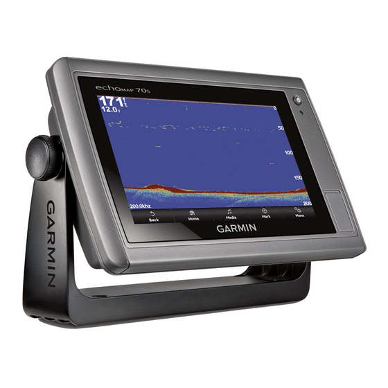
Sonar ............................................................................. 13
Sonar Views ............................................................................. 13
Full-Screen Sonar View ...................................................... 13
DownVü Sonar View ........................................................... 14
SideVü Sonar View ............................................................. 14
Split-Screen Sonar Views ................................................... 14
Split-Zoom Sonar View ....................................................... 14
Split-Frequency Sonar View ................................................ 14
Creating a Waypoint on the Sonar Screen Using the
Touchscreen ............................................................................ 14
Creating a Waypoint on the Sonar Screen Using the Device
Keys ......................................................................................... 14
Measuring Distance on the Sonar Screen ............................... 14
Pausing the Sonar Display ....................................................... 14
Viewing Sonar History .............................................................. 14
Sonar Sharing .......................................................................... 14
i