Garmin GPS 500 Руководство - Страница 5

Просмотреть онлайн или скачать pdf Руководство для Дисплей авионики Garmin GPS 500. Garmin GPS 500 6 страниц. 500 series
Также для Garmin GPS 500: Руководство по эксплуатации (6 страниц), Дополнение к руководству пилота (27 страниц), Дополнение к руководству пилота (4 страниц), Краткая справка (17 страниц), Краткая справка (23 страниц), Дополнение к руководству пилота (22 страниц), Руководство по установке (14 страниц)
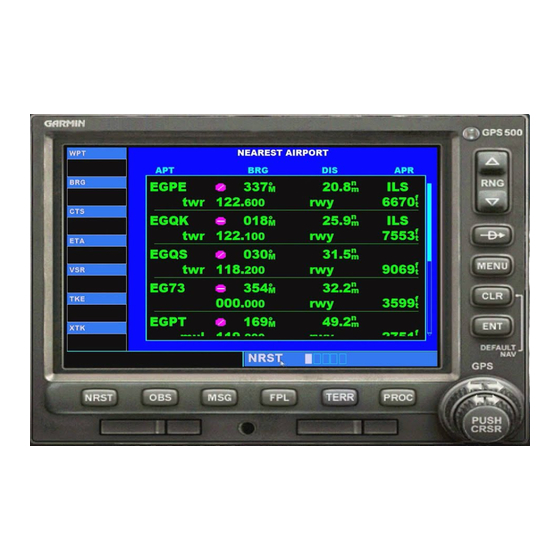
Garmin GPS 500 Руководство
9. The TERR button (5) (Terrain)
Pressing the TERR button changes the display from "night" to "day" display. The night display
is mostly blue and black, the day display will show you terrain as it might be seen from a
satellite, showing water and mountains, ridges, rivers, lakes, etc. You select the display that
works best for you.
A more detailed "Day" display: There is a "fix" you can use to make the day terrain display far
more accurate than what comes with your sim. It is FREEware. Those of us flying "low and
slow" can use this to fly between mountains and up river basins easily. If you are a "high flyer"
(commercial jets, etc), this will not make a lot of difference for you.
From the
RTMM FAQ
Here is some new software for your Garmin GPS on your aircraft. All you do is rename
your fs9gps.cab in your gauges folder to fs9gps.cab.old .... then put in this new
fs9gps.cab in its place. That is ALL there is to it (I even got it right the first time!).
I flew through a valley about 10 aircraft widths wide this afternoon and had the GPS
zoomed in and EASILY stayed right in the middle of the valley, twisting and turning with
the contours. The accuracy is perfect and you won't believe how much more detail
there is on your GPS screen. A great addition. You can download the cab file
You can see the better definition in this example.
5
Page:
HERE