Garmin GTX GTX 330D Руководство пилота - Страница 8
Просмотреть онлайн или скачать pdf Руководство пилота для Дисплей авионики Garmin GTX GTX 330D. Garmin GTX GTX 330D 13 страниц. Mode s transponder
Также для Garmin GTX GTX 330D: Дополнение к руководству пилота (50 страниц), Дополнение к руководству пилота (50 страниц), Руководство пилота (13 страниц), Руководство по установке (49 страниц)

Mode S Data Transmission
In addition to 4096 code and pressure altitude, the GTX 330 is capable of transmitting
aircraft identification, transponder capability, and maximum speed range. Aircraft
identification is commonly referred to as FLT ID (Flight Identification). The GTX 330 may be
configured by the installer to allow the flight crew to enter FLT ID for each flight. An example
is when air-carrier service requires changing the FLT ID.
The FLT ID may consist of the aircraft registration or a flight number as agreed upon with
the local aviation authority. In either case, the FLT ID must be the same aircraft identification
that appears in the flight plan to correlate the aircraft identification seen on ATC radar with the
correct voice call sign for the aircraft. If no flight plan is filed with the aviation authority (as
may be permitted by regulations), the FLT ID entered is the aircraft registration marking.
When flight crew entry of the FLT ID is not required, the installer configures the
system to report the aircraft identification according to local aviation requirements. In this
configuration, alteration of the FLT ID by the flight crew is not possible.
Altitude Monitor Operation
To operate the Altitude Monitor:
1) Climb to assigned altitude.
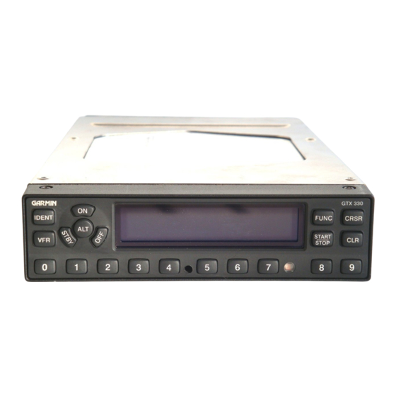
2) Press the FUNC key until ALT MONITOR is displayed.
3) Press START/STOP key to start monitoring altitude.
4) Press START/STOP key again to cancel Altitude Monitor.
Altitude deviation is shown in hundreds of feet ABOVE or BELOW the selected altitude.
When the aircraft' s altitude exceeds the deviation limit, ABOVE or BELOW flashes and an
audio tone or the message "Leaving Altitude" is heard. ABOVE or BELOW flashes until the
aircraft returns to within 100' of the selected altitude.
To select a new monitored altitude, press the START/STOP key to deactivate, then press
again to activate the new monitored altitude.
If another function is selected for viewing, such as a Timer or Pressure Altitude, the
Altitude Monitor is automatically displayed with a flashing alert when the altitude excursion
exceeds the configured deviation value. The Altitude Monitor stops when the current
deviation exceeds 1000 feet plus the configured deviation value.
The maximum configured deviation values that can be set by a Garmin authorized service
center are as follows:
Flight Level or Feet Maximum Limits – 300 feet BELOW, 0 feet to 1999 feet ABOVE
Meters Maximum Limits – 300 meters BELOW, 0 meters to 609 meters ABOVE
