Garmin GPSMAP 7000 Series Краткое справочное руководство
Просмотреть онлайн или скачать pdf Краткое справочное руководство для Морская система GPS Garmin GPSMAP 7000 Series. Garmin GPSMAP 7000 Series 2 страницы. Weather and xm satellite radio gpsmap 4000 series; gpsmap 5000 series; gpsmap 6000 series; gpsmap 7000 series
Также для Garmin GPSMAP 7000 Series: Руководство по установке (21 страниц), Руководство по конфигурации (2 страниц), Дополнительное руководство (24 страниц), Руководство пользователя (8 страниц)
Creating and Navigating a Route
Creating and Navigating a Route from Your Present
Location
You can create and immediately navigate a route on the Navigation chart or the Fishing chart.
This procedure does not save the route or the waypoint data.
Note: The Fishing chart is available with a preprogrammed BlueChart
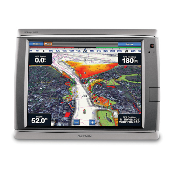
1. From the Home screen, select Chart.
2. Select
Navigation Chart
or
Fishing
Chart.
3. Complete an action:
•
For the GPSMAP 6000 series, use the Rocker to
select a destination using the cursor ( ).
•
For the GPSMAP 7000 series, touch a destination
using the cursor (
).
4. Select
Navigate to
>
Route
to.
5. Indicate the location where you want to make the
last turn toward your destination:
•
For the GPSMAP 6000 series, use the Rocker to
select a last-turn location using the cursor.
•
For the GPSMAP 7000 series, touch a last-turn
location using the cursor.
6. Select
Add
turn.
7. If you want to add additional turns, repeat steps 5
and 6, working backward from the destination to the
present location of your boat.
The last turn you add should be where you want to make the first turn from your present
location. It should be the turn that is closest to your boat.
8. Select
Done
when the route is complete.
9. Review the course indicated by the magenta line.
10. Follow the magenta line, steering to avoid land, shallow water, and other obstacles.
Navigating to a Point on a Chart
The Auto Guidance feature of the Bluechart g2 Vision data card is based on electronic chart
information. That data does not assure obstacle and bottom clearance. Carefully compare the
course to all visual sightings and avoid any land, shallow water, or other obstacles that may be
®
g2 Vision
®
data card.
in your path.
When using Go To, a direct course and a corrected course may pass over land or shallow water.
Use visual sightings and steer to avoid land, shallow water, and other dangerous objects.
Note: The Fishing chart is available with a preprogrammed BlueChart g2 Vision data card.
1. From the Home screen, select Charts.
2. Select
Navigation Chart
3. Select where you want to go:
•
For the GPSMAP 6000 series, press the Rocker to select the location using the
Destination Selected
cursor ( ).
•
For the GPSMAP 7000 series, touch the navigation chart to select the location using
the cursor (
4. Select
Navigate
5. Complete an action:
•
Select
Go to
•
Select
Route to
•
Select
Guide to
Turn Selected
6. Review the course indicated by the magenta line.
Note: When using Auto Guidance, a gray line within any part of the magenta line indicates
that Auto Guidance cannot calculate part of the Auto Guidance line. This is due to the
minimum safe water depth and the minimum safe obstacle height settings.
7. Follow the magenta line, steering to avoid land, shallow water, and other obstacles.
Navigating Using a Chart
CAUTION
or
Fishing
Chart.
).
to.
to navigate directly to the location.
to create a route to the location, including turns.
to use Auto Guidance.
Go To
Guide To (BlueChart g2 Vision)
GPSMAP
6000/7000 series
®
quick reference guide