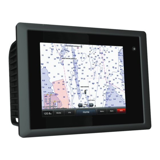
Garmin GPSMAP 8000 Glass Helm Series Руководство по эксплуатации - Страница 37
Просмотреть онлайн или скачать pdf Руководство по эксплуатации для Морское оборудование Garmin GPSMAP 8000 Glass Helm Series. Garmin GPSMAP 8000 Glass Helm Series 48 страниц.

Changing the Sea Surface Temperature Color Range
You can change the color range dynamically to view higher
resolution sea surface temperature readings.
1
From the weather Fishing chart, select Menu > Weather
Menu > Sea Temperature.
2
Select an option:
• To allow the chartplotter to adjust the temperature range
automatically, select Auto Configure.
The chartplotter automatically finds the lower and upper
limits for the current screen, and updates the
temperature-color scale.
• To enter the lower and upper limits for the temperature
range, select Lower Limit or Upper Limit, and enter the
lower or upper limit.
Visibility Information
Visibility is the forecast maximum horizontal distance that can
be seen at the surface, as shown in the legend on the left of the
screen. Variations in the visibility shading show the forecast
change in surface visibility.
NOTE: This feature is not available on all devices and in all
subscriptions.
Select Weather > Menu > Weather Menu > Change Weather
> Visibility.
Viewing Forecast Visibility Information for Another
Time Period
1
Select Weather > Menu > Weather Menu > Change
Weather > Visibility.
2
Select an option:
• To view the visibility forecast for the next 12 hours, select
Next Forecast or , and to view forecasts, up to 36 hours,
in 12-hour increments, select Next Forecast or again.
• To view the visibility forecast for the previous 12 hours,
select Previous Forecast or , and to view previous
forecasts, up to 36 hours ago, in 12-hour increments,
select Previous Forecast or again.
Viewing Buoy Reports
Report readings are taken from buoys and coastal observation
stations. These readings are used to determine air temperature,
dew point, water temperature, tide, wave height and period,
wind direction and speed, visibility, and barometric pressure.
1
From a weather chart, select .
2
Select Buoy.
Viewing Local Weather Information near a Buoy
You can select an area near a buoy to view forecast
information.
1
From a weather chart, select a location on the chart.
2
Select Local Weather.
3
Select an option:
• To view present weather conditions from a local weather
service, select Current Conditions.
• To view a local weather forecast, select Forecast.
• To view surface wind and barometric pressure
information, select Sea Surface.
• To view wind and wave information, select Marine
Bulletin.
Creating a Waypoint on a Weather Chart
1
From a weather chart, select a location.
2
Select Create Waypoint.
Viewing Video
Weather Overlay
The weather overlay superimposes weather and weather-
related information on the Navigation chart, the Fishing chart,
and the Perspective 3D chart view. The Navigation chart and
the Fishing chart can show weather radar, height of cloud tops,
lightning, weather buoys, county warnings, and hurricane
warnings. The Perspective 3D chart view can show weather
radar.
Weather overlay settings configured for use on one chart are
not applied to another chart. The weather overlay settings for
each chart must be configured separately.
NOTE: The offshore Fishing chart is available with premium
charts, in some areas.
Turning On the Weather Overlay on a Chart
From the Navigation chart or Fishing chart, select Menu >
Chart Setup > Weather > Weather > On.
Weather Overlay Settings on the Navigation Chart
From the Navigation chart, select Menu > Chart Setup >
Weather.
Weather: Turns on and off the weather overlay.
Precipitation: Shows precipitation data.
Cloud Cover: Shows cloud cover data.
Visibility: Shows visibility data.
Buoys: Shows weather buoys.
Legend: Shows the weather legend.
Weather Overlay Settings on the Fishing Chart
From the Fishing chart, select Menu > Chart Setup > Weather.
Precipitation: Shows precipitation radar.
Sea Temperature: Shows sea temperature data.
Buoys: Shows weather buoys.
Legend: Shows the weather legend.
Viewing Weather Subscription Information
You can view information about the weather services you have
subscribed to and how many minutes have passed since the
data for each service was updated.
From a weather chart, select Menu > Weather Menu >
Change Weather > Weather Subscription.
Viewing Video
Before you can view video, you must connect to a compatible
source.
Select Info > Video.
Selecting a Video Source
NOTE: Not all options are available on all camera models and
chartplotter models.
1
From the video screen, select Menu > Video Menu >
Source.
2
Select the source of the video feed:
• To display video for the inputs connected to the
chartplotter, select a video option.
• To view component video, select Component.
• To display real-time data from a computer, select Analog
PC or Digital PC.
• To simultaneously display four RCA video inputs, select
Quad Video.
31
