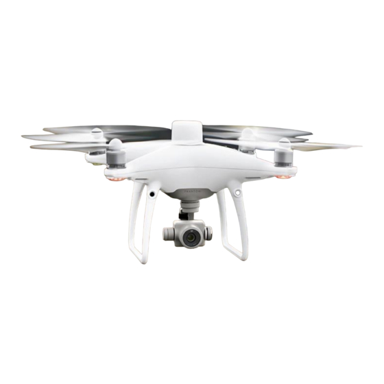
dji Phantom 4 RTK Краткое руководство по эксплуатации - Страница 7
Просмотреть онлайн или скачать pdf Краткое руководство по эксплуатации для Дроны dji Phantom 4 RTK. dji Phantom 4 RTK 10 страниц. Remote controller
Также для dji Phantom 4 RTK: Отказ от ответственности и правила техники безопасности (19 страниц), Руководство по настройке (7 страниц), Руководство по часто задаваемым вопросам (17 страниц)

8. Start Operations
Photogrammetry and waypoint actions can be performed using both PC GS Pro software and the DJI GS
RTK app. The following example includes instructions for photogrammetry operation using the DJI GS RTK
app. Refer to PC GS Pro User Manual for details (if in use).
Tap Plan on the
main screen, select
Photogrammetry*
Use the operation**
* Users can also import KML/KMZ files to the app through a microSD card to plan photogrammetry operations.
Refer to the Phantom 4 RTK User Manual for details.
** Select the operation again via the following method if the operation was not used immediately. Go to DJI GS RTK
main screen > Fly >
Only take off in open areas.
●
An operation can be paused by toggling the Pause Switch. The aircraft will hover and record the breakpoint,
●
and then the aircraft can be controlled manually. To continue the operation, select it from the list again and
then resume. The aircraft will automatically return to the breakpoint and resume the operation.
The aircraft will return to the Home Point automatically once the operation is complete. Instead of RTH, the
●
aircraft can also be set to perform other flight actions within the app.
9. Applications
Field Planning
Import aerial photos into PC GS Pro to perform map post-processing. Then plan the field in
PC GS Pro. Use a microSD card to import the plan file from PC GS Pro into the Agras MG-
1S Advanced / MG-1P series remote controller. Refer to corresponding user manuals for
more details.
High Accuracy Mapping
Import the original aerial photos into PC GS Pro and perform map post-processing to
produce a high-accuracy map. Please refer to the PC GS Pro User Manual for more details.
Visit the link below to learn more about PC GS Pro:
http://www.dji.com/pc-gs-pro
Tap the map to
add edge points,
drag to adjust their
positions
Tap
in the
Camera View for
camera settings
on the left, select the operation from the planning list, and tap Invoke.
Settings: altitude,
speed, completion
action, camera, and
advanced settings
Tap Start
Tap Save, add
name and remark,
then tap OK
Slide the slider to
start the operation
