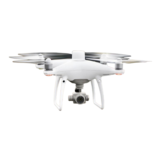
dji Phantom 4 RTK Руководство по часто задаваемым вопросам - Страница 7
Просмотреть онлайн или скачать pdf Руководство по часто задаваемым вопросам для Аксессуары для дронов и квадрокоптеров dji Phantom 4 RTK. dji Phantom 4 RTK 17 страниц. Remote controller
Также для dji Phantom 4 RTK: Краткое руководство по эксплуатации (10 страниц), Отказ от ответственности и правила техники безопасности (19 страниц), Руководство по настройке (7 страниц)

1. DJI Base Station: Connect DJI D-RTK 2 High-Precision GNSS Mobile Station and the
remote controller via a USB cable to upload the PPK data onto the base station. After
the server acquires the data from the aircraft and the D-RTK 2 Mobile Station, it will
start PPK calculation automatically.
2. RINEX Base Station: Convert the satellite observation values received by third-party
base stations into standard RINEX format, then import the PPK source data to the
remote controller and upload them to the cloud server for PPK calculation.
In which SD cade file folder should the third-party satellite observation data be stored
when I use a RINEX base station for PPK calculation? Where will the PPK calculation
results be stored? You should save the third-party satellite observation data under sd
card/third_base/ on the SD card in the remote controller. The PPK results will be stored under
SD card/DCIM/SURVEY/(mission file name)/result.csv.
How does the Cloud PPK Service acquire the geographic coordinate information of
third-party base stations when using a RINEX base station for PPK calculation?
1. If the RINEX file contains a field "APPROX POSITION XYZ", which includes the
approximate location of the base station in the ECEF coordinate system, the Cloud
PPK Service will be able to analyze the location based on information in the field and
convert it into geographic coordinates. These coordinates will be set as the default
coordinates for the phase center of the antenna of the base station.
2. Users can also manually enter the longitude and latitude information of where the
base station is set up, as well as the distance between the bottom of the base station
and the antenna phase center (APC). With this information, the Cloud PPK Service will
run calculations based on the antenna phase center information entered by the user.
3. The Cloud PPK Service can also acquire the location of the antenna phase center
through Single Point Positioning (SPP) with RINEX data. These coordinates will be
used for PPK calculation.
Where is Cloud PPK Service available? The service is available everywhere except in the
US, Canada, Hong Kong SAR, and Macau SAR.
When I use the D-RTK 2 Mobile Station as an RTK rover, where are the coordinate files
stored? You can find them under /DJI/EXPORT/RTK_SCOUT.
How does the RTK rover measure data? There are two ways:
1. Instantaneous measurement
2. Average measurement using 10 values collected during 2 seconds
Does the D-RTK 2 Mobile Station have to have an RTK "FIX" to be used as a rover?
1. For instantaneous measurement: yes, it has to be "FIX".
2. For average measurement: it is recommended that the RTK signal be "FIX".
How do I run firmware updates on the D-RTK 2 Mobile Station? Currently you can only
update it via the Phantom 4 RTK Remote Controller (not the SDK Remote Controller).
Purchase the DJI Phantom 4 RTK w/ RTK-2 Mobile Station Combo at www.tigersupplies.com.
