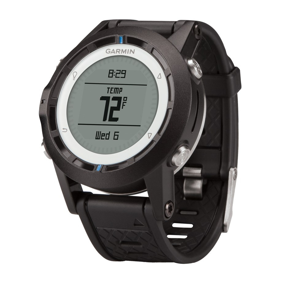
Garmin quatix Посібник користувача - Сторінка 18
Переглянути онлайн або завантажити pdf Посібник користувача для Дивись. Garmin quatix. Garmin quatix 22 сторінки. Gps watch
Також для Garmin quatix: Декларація про відповідність (6 сторінок), Посібник із швидкого старту (6 сторінок), Інформація про продукт (44 сторінок)

GWD (ground wind direction): The direction of the wind
relative to the land, referenced from the north.
G WIND CHL (ground wind chill): The temperature of the wind
chill relative to the land.
GWS (ground wind speed): The speed of the wind relative to
the ground. When there are no currents and no leeway, the
ground wind speed is equivalent to the true wind speed.
OPP TACK (opposite tack heading): The opposite tack
direction of the vessel based on the current tack direction
SET: The direction of the current referenced from the north.
STW (speed through water): The speed of the boat relative to
the water.
Data Pages
TIP: You can customize the data pages for each profile
By default, these pages appear in all profiles when you are not tracking or navigating. These data pages cannot be customized.
Page GPS Off
1
Clock
2
Temperature
3
Barometer
4
Compass
By default, these pages appear for the sailing profile when you are tracking or navigating.
NOTE: The tack assist page only displays when the tack assist feature is enabled
Page Tracking
1
Tack assist
2
Course over ground and
speed over ground
3
Distance and time
4
Compass
5
Barometer
6
Temperature
7
Map
8
Clock
9
By default, these pages appear for the powerboat profile when you are tracking or navigating.
Page Tracking
1
Course over ground and
speed over ground
2
Distance and time
3
Compass
4
Barometer
5
Temperature
6
Map
7
Clock
8
By default, these pages appear for the water sports profile when you are tracking or navigating.
Page Tracking
1
Course over ground and
speed over ground
2
Distance and time
3
Compass
4
Barometer
14
(page
Navigating
Tack assist
Distance to next, elapsed time, and
bearing
Course over ground and speed
over ground
Distance and time
Compass
Barometer
Temperature
Map
Clock
Navigating
Distance to next, elapsed time, and
bearing
Course over ground and speed over
ground
Distance and time
Compass
Barometer
Temperature
Map
Clock
Navigating
Distance to next, elapsed time, and
bearing
Course over ground and speed over
ground
Distance and time
Compass
TWA (true wind angle): The angle of the wind relative to the
water, referenced from the bow of the boat with a port or
starboard angle up to 180 degrees.
TWD (true wind direction): The true direction of the wind
relative to North.
TWS (true wind speed): The true speed of the wind relative to
the vessel.
VMG TO WND (velocity made good to wind): The speed at
which you are making progress into the wind.
WATER TEMP (water temperature): The temperature of the
water.
10).
(page
7).
Tracking with NMEA 2000
Data
Tack assist
Course over ground, depth, and
speed over ground
Map
Wind VMG
TWS and TWD
AWS and AWA
Clock
Tracking with NMEA 2000
Data
Course over ground and
speed over ground
Map
Water temperature and depth
Clock
Tracking with NMEA 2000
Data
Course over ground and speed
over ground
Map
Water temperature and depth
Clock
Navigating with NMEA 2000 Data
Tack assist
Course over ground, depth, and
speed over ground
Bearing and distance to opposite tack
Map
Wind VMG and TWS
AWS and AWA
Clock
Navigating with NMEA 2000 Data
Estimated time en route, distance, and
estimated time of arrival
Map
Water temperature and depth
Clock
Course over ground and speed over
ground
Navigating with NMEA 2000 Data
Course over ground and speed over
ground
Distance to next, elapsed time, and
bearing
Map
Water temperature and depth
Device Information
