Garmin StreetPilot c330 Посібник користувача - Сторінка 23

Переглянути онлайн або завантажити pdf Посібник користувача для Автомобільна навігаційна система Garmin StreetPilot c330. Garmin StreetPilot c330 42 сторінки. Garmin c330 personal navigation system
Також для Garmin StreetPilot c330: Інформація про безпеку та продукцію (32 сторінок), Інформаційний листок продукту (2 сторінок), Короткий довідник (2 сторінок), Посібник з налаштування (8 сторінок), Посібник користувача (37 сторінок), Інформація про продукт (4 сторінок), Декларація про відповідність (1 сторінок), Посібник для фасилітатора (16 сторінок), Посібник користувача (8 сторінок), Посібник з налаштування (8 сторінок)
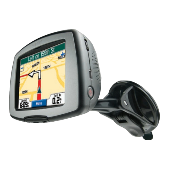
Garmin StreetPilot c330 Посібник користувача

Customizing the Map Page

Map Detail—adjusts the amount of detail that displays on your
Map page. Most shows maximum detail while Least shows
minimum detail. The higher the detail level, the slower the map
redrawing time.
Map View—changes the perspective of the display on the Map
page.
• 3 Dimensional—displays the default map view. 3-D view
appears only in a "Track Up" orientation.
• Track Up—orients the Map page with your direction of travel
at the top. The map view is set to 2 Dimensional (like a paper
map) when you select this option.
c330 Owner's Manual
• North Up—orients the Map page with North at the top. The
map view is set to 2 Dimensional when you select this option.
Map Info button—shows which map software products you have
loaded to your c330. Refer to this page when you are ready to
update your map software.
Restore button—restores the original map settings.

Customizing the Color Mode

Color Mode—choose Daytime for a bright and lighter
background. Select Nighttime to switch to a black background
for easier viewing while driving at night. Select Auto to
automatically switch between the two at sunrise and sunset.
C
330
USTOMIZING THE C
19