Garmin GTX 330 Посібник пілота - Сторінка 6

Переглянути онлайн або завантажити pdf Посібник пілота для Дисплей авіоніки Garmin GTX 330. Garmin GTX 330 6 сторінок. Equipment supplement
Також для Garmin GTX 330: Доповнення до Посібника пілота (50 сторінок), Доповнення до Посібника пілота (50 сторінок), Посібник пілота (12 сторінок), Посібник пілота (13 сторінок), Посібник пілота (8 сторінок), Посібник пілота (13 сторінок), Посібник (8 сторінок), Посібник з монтажу (49 сторінок)
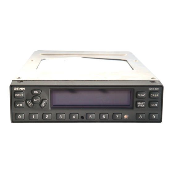
Garmin GTX 330 Посібник пілота
GTX 330 Mode S Transponder Features
Traffic Information Service
The GTX 330 Mode S transponder provides a data link for Traffic Information Sewice
(TIS). TIS is derived through a Mode S transponder data link and viewed on a multifunction
display ATC radar sends a traffic picture within a radius of 55 miles from select sites. The
TIS protected areais a cylinder of 7-mile radius, extending 3500'above and 3000'below your
aircraft. Refer to the ÄlM Chapter 1 for more details.
TIS provides a graphic display of traffic information in the cockpit for non-TCAS equipped
aircraft, Transponder-equipped
aircraft can be displayed within the coverage volume within
range of your position on indicators such as a Garmin 430 or 530, GNS 480 and M)00. Air-
craft without an operating transponder are invisible to TIS. Refer to 400/500 series, GNS 480
or MX20 pilot literature for details.
Audio Alerts
(Setting options; maldfemale voice or tone, and volume level.)
. "Leaving Altitude" Altitude deviation is exceeded.
. "Traffic" TIS traffic alert is received.
. "Traffic Not Available" TIS service is not available or out of range.
. "Timer Fxnired" for countdown time.