If you are unfamiliar with NMEA 2000, you should read the
"NMEA 2000 Network Fundamentals" chapter of the Technical
Reference for NMEA 2000 Products on the included CD-ROM
or click the "Manuals" link on the product page for your device at
www.garmin.com.
The port labeled NMEA 2000 on the back of the device is used
to connect it to a standard NMEA 2000 network.
Item
Description
NMEA 2000 compatible Garmin device
NMEA 2000 drop cable
NMEA 2000 power cable
Ignition or in-line switch
12 Vdc power source
NMEA 2000 terminator or backbone cable
NMEA 2000 T-connector
NMEA 2000 terminator or backbone cable
Connecting the Device to a Transducer
Only sonar-compatible devices are capable of receiving depth
information from a Garmin transducer. Sonar-compatible
devices have a port labeled 8-PIN SONAR or 12-PIN SONAR.
Go to
www.garmin.com
or contact your local Garmin dealer to
determine the appropriate type of transducer for your needs.
1
Follow the instructions provided with your transducer to
correctly install it on your boat.
2
Route the transducer cable to the back of your device, away
from sources of electrical interference.
3
Connect the transducer cable to the 8-PIN SONAR or 12-PIN
SONAR port on your device.
Connecting the Device to a Remote GPS
Antenna
This device has an internal GPS receiver, but some
installations, such as a flush-mount installation, may not allow a
view of the sky needed to calculate your GPS position. In this
situation, you can install a Garmin external GPS antenna (not
included) in an appropriate location and connect it to the device
to provide GPS information.
Not all devices in the series are able to receive data from an
external GPS antenna. Compatible devices have a port labeled
EXT GPS.
1
Follow the instruction provided with your Garmin external
GPS antenna to correctly install it on your boat.
2
Route the antenna cable to the back of your device, away
from sources of electrical interference.
3
Connect the antenna cable to the EXT GPS port on your
device.
Connecting the Device to a Garmin Marine
Radar
Only radar-compatible devices are capable of receiving
information from a Garmin Marine Radar. Radar-compatible
devices have a port labeled RADAR. Go to
contact your local Garmin dealer to determine the appropriate
type of radar for your needs.
1
Follow the instructions provided with your radar to correctly
install it on your boat.
2
Route the Garmin Marine Network cable from the radar to
the back of your device, away from sources of electrical
interference.
3
Connect the Garmin Marine Network cable to the RADAR
port on your device.
NOTE: Do not connect the network cable to the ETHERNET
port if one is present on your device. The ETHERNET port is
reserved for future use.
Updating the Device Software
The device may contain a software-update memory card. If so,
follow the instructions provided with the card.
If a software update memory card is not included, go to
www.garmin.com
to make sure your device software is up-to-
date.
1
If necessary, load the software update onto the memory card
from your computer by following the instructions on
www.garmin.com.
2
Turn on the chartplotter.
3
Insert the memory card into the card slot.
4
Follow the on-screen instructions.
Specifications
Physical Specifications
Device
Specification
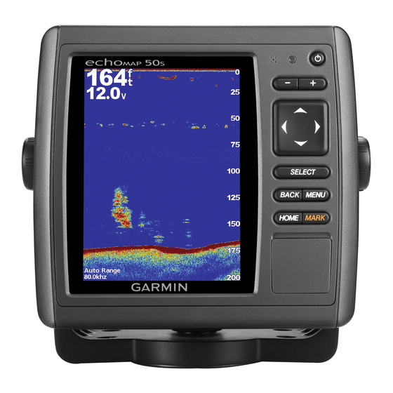
Five-inch
Dimensions
models
(W×H×D)
Display size (W×H) 2
Weight
Seven-inch
Dimensions
models
(W×H×D)
Display size (W×H) 6
Weight
All models
Temperature range From 5° to 131°F (from -15° to
Material
Electrical Specifications
Device
Specification
All models
Input power
Fuse
NMEA 2000 LEN
NMEA 2000 Draw
Five-inch models
Max. power usage at 10 Vdc
Typical current draw at 12 Vdc
Max current draw at 12 Vdc
Compass-safe distance
NMEA 2000 PGN Information
Type
PGN
Transmit and receive 059392 ISO acknowledgment
059904 ISO request
www.garmin.com
Measurement
7
15
13
6
/
× 5
/
× 2
/
in. (155 ×
64
16
32
151 × 61 mm)
29
/
in. × 4 in. (74 × 101.6 mm)
32
1.72 lbs (779 g)
1
5
9
9
/
× 5
/
× 2
/
in.(230 × 143 ×
16
8
32
58 mm)
1
11
/
in. × 3
/
in. (153 × 85 mm)
64
32
2.31 lbs (1.048 kg)
55°C)
Polycarbonate plastic
Measurement
10–32 Vdc
3 A, fast-acting
2
100 mA max.
27 W
450 mA
2.7 A
17¾ in. (45 cm)
Description
or
5