Garmin GPSMAP 700 Series Посібник користувача - Сторінка 5

Переглянути онлайн або завантажити pdf Посібник користувача для Морська система GPS Garmin GPSMAP 700 Series. Garmin GPSMAP 700 Series 38 сторінок. Flat-mount kit
Також для Garmin GPSMAP 700 Series: Інструкція з монтажу Посібник з монтажу (10 сторінок), Короткий довідник (2 сторінок), Посібник з конфігурації (2 сторінок), Шаблон (2 сторінок), Посібник із швидкого старту (4 сторінок), Посібник користувача (44 сторінок), Інструкція з монтажу Посібник з монтажу (6 сторінок), Посібник користувача (50 сторінок), Інструкція з монтажу Посібник з монтажу (34 сторінок)
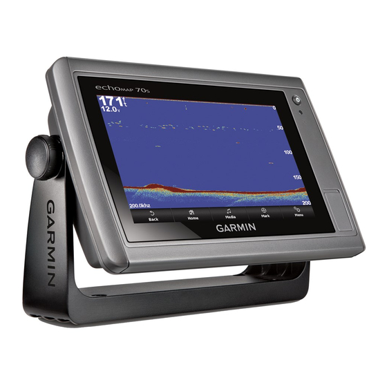
Garmin GPSMAP 700 Series Посібник користувача
Setting the Keel Offset ........................................................ 23
Calibrating a Water Speed Device ...................................... 23
Setting the Water Temperature Offset ................................ 24
Communications Settings ........................................................ 24
NMEA 2000 and NMEA 0183 ............................................. 24
NMEA 0183 .................................................................... 24
NMEA 2000 .................................................................... 24
Communication with Wireless Devices .............................. 24
Connecting a Bluetooth Wireless Device ....................... 24
Setting Up the Wireless Network .................................... 24
Setting Alarms .......................................................................... 25
Navigation Alarms ............................................................... 25
System Alarms .................................................................... 25
Setting the Fuel Alarm ......................................................... 25
Setting Weather Alarms ...................................................... 25
Units Settings ........................................................................... 25
Navigation Settings .................................................................. 25
Auto Guidance Line Configurations .................................... 25
Adjusting the Distance from Shore ................................. 26
Other Vessel Settings .............................................................. 26
Viewing System Software Information ..................................... 26
Chartplotter Data Management ................................... 26
Copying Data from a Memory Card ......................................... 26
Chartplotters on a NMEA 2000 Network .................................. 27
Copying Built-In Maps to a Memory Card ................................ 27
Backing Up Data to a Computer .............................................. 27
Restoring Backup Data to a Chartplotter ................................. 27
Saving System Information to a Memory Card ........................ 27
Appendix.......................................................................27
Registering Your Device .......................................................... 27
Calibrating the Touchscreen .................................................... 27
Updating the Device Software ................................................. 27
Screenshots ............................................................................. 27
Capturing Screenshots ........................................................ 27
Copying Screenshots to a Computer .................................. 27
NMEA 0183 Information ........................................................... 27
NMEA 2000 PGN Information .................................................. 28
Index..............................................................................29
Table of Contents
iii