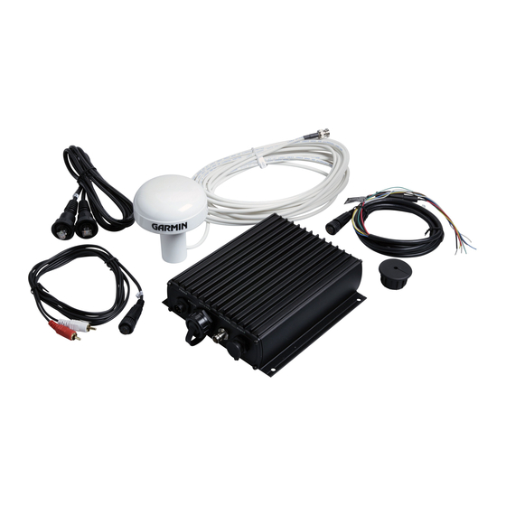
Garmin GDL 30A Посібник користувача - Сторінка 19
Переглянути онлайн або завантажити pdf Посібник користувача для Морське обладнання Garmin GDL 30A. Garmin GDL 30A 34 сторінки. Marine weather satellite receiver
Також для Garmin GDL 30A: Посібник користувача (34 сторінок), Інструкція з монтажу Посібник з монтажу (8 сторінок), Посібник користувача (38 сторінок), Посібник користувача (40 сторінок)

XM WX Weather Features
Sea Surface
The Sea Surface category contains Temperature, Wave Height, Wave Period, and Wave Direction. Each feature can be turned on or off, or set to
display at a selected zoom range. For more information on configuring units of measure for Temperature and Wave Height, see the chartplotter
Owner's Manual.
Temperature
The Temperature feature displays the water surface temperature. The temperature breaks are indicated by isobars. Temperature can be displayed
in degrees Fahrenheit (°F) or in degrees Celcius (°C).
Wave Height
The Wave Height feature displays wave heights. The wave heights for an area are separated by isobars. Wave Height can be displayed in feet
(ft.) or meters (m).
Temperature Feature
Wave Height Feature
GDL 30A Owner's Manual
