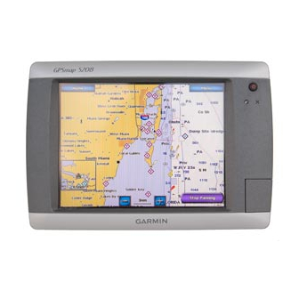
Garmin GPSMAP 5208 - Marine GPS Receiver Benutzerhandbuch
Blättern Sie online oder laden Sie pdf Benutzerhandbuch für GPS-System für die Schifffahrt Garmin GPSMAP 5208 - Marine GPS Receiver herunter. Garmin GPSMAP 5208 - Marine GPS Receiver 6 Seiten. Weather and xm satellite radio gpsmap 4000 series; gpsmap 5000 series; gpsmap 6000 series; gpsmap 7000 series
Auch für Garmin GPSMAP 5208 - Marine GPS Receiver: Wichtige Sicherheitsinformationen (4 seiten), Kurzreferenz-Handbuch (2 seiten), Benutzerhandbuch (2 seiten), Benutzerhandbuch (2 seiten), Technische Referenz (30 seiten), Installationsanleitung Handbuch (19 seiten), Installationsanleitung Handbuch (25 seiten), Kurzreferenz-Handbuch (2 seiten), Installationsanleitung Handbuch (25 seiten), Konformitätserklärung (1 seiten), Handbuch drucken (2 seiten), Zusatzhandbuch (24 seiten)