Garmin GPSMAP 550 Especificación - Página 2

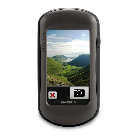
Navegue en línea o descargue pdf Especificación para Sistema GPS marino Garmin GPSMAP 550. Garmin GPSMAP 550 2 páginas. Rugged 3” touchscreen with built-in 3.2 megapixel camera
También para Garmin GPSMAP 550: Manual de instrucciones de instalación (12 páginas), Manual de consulta rápida (2 páginas), Manual de inicio rápido (8 páginas), Manual de inicio rápido (8 páginas), Manual del usuario (12 páginas), Manual del usuario (4 páginas)

Garmin GPSMAP 550 Especificación
Maps & Memory:
Basemap:
Ability to add maps:
Built-in memory:
Accepts data cards:
Waypoints/favorites/locations:
Routes:
Track log:
Features:
Automatic routing (turn by turn routing on
roads):
Electronic compass:
Touchscreen:
Barometric altimeter:
Camera:
Geocaching-friendly:
Custom maps
compatible:
Photo navigation (navigate to geotagged
photos):
Outdoor GPS games:
Hunt/fish calendar:
Sun and moon information:
Tide tables:
Area calculation:
Custom POIs (ability to add additional points of
interest):
Unit-to-unit transfer (shares data wirelessly
with similar units):
Picture viewer:
Garmin Connect™ compatible (online
community where you analyze, categorize and
share data):
Address: 306, Agarwal Arcade, Plot No. 6, Sector 12, Aashirwad Chowk, Dwarka, New Delhi-110075
Ph:011-28034223/24
yes
yes
850 MB
microSD™ card (not included)
2000
200
10,000 points, 200 saved tracks
yes (with optional mapping for detailed roads)
yes (tilt-compensated, 3-axis)
yes
yes
yes (3.2 megapixel with autofocus; 4x digital
zoom)
yes (paperless)
yes
yes
yes (Wherigo only)
yes
yes
yes
yes
yes
yes
yes
yes