Garmin GPSMAP 550 Specificatie - Pagina 2

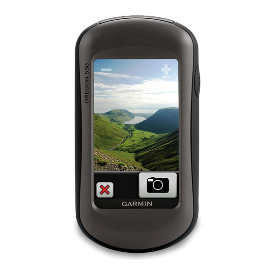
Blader online of download pdf Specificatie voor {categorie_naam} Garmin GPSMAP 550. Garmin GPSMAP 550 2 pagina's. Rugged 3” touchscreen with built-in 3.2 megapixel camera
Ook voor Garmin GPSMAP 550: Handleiding voor installatie-instructies (12 pagina's), Snelle referentiehandleiding (2 pagina's), Snelstarthandleiding (8 pagina's), Snelstarthandleiding (8 pagina's), Gebruikershandleiding (12 pagina's), Gebruikershandleiding (4 pagina's)

Garmin GPSMAP 550 Specificatie
Maps & Memory:
Basemap:
Ability to add maps:
Built-in memory:
Accepts data cards:
Waypoints/favorites/locations:
Routes:
Track log:
Features:
Automatic routing (turn by turn routing on
roads):
Electronic compass:
Touchscreen:
Barometric altimeter:
Camera:
Geocaching-friendly:
Custom maps
compatible:
Photo navigation (navigate to geotagged
photos):
Outdoor GPS games:
Hunt/fish calendar:
Sun and moon information:
Tide tables:
Area calculation:
Custom POIs (ability to add additional points of
interest):
Unit-to-unit transfer (shares data wirelessly
with similar units):
Picture viewer:
Garmin Connect™ compatible (online
community where you analyze, categorize and
share data):
Address: 306, Agarwal Arcade, Plot No. 6, Sector 12, Aashirwad Chowk, Dwarka, New Delhi-110075
Ph:011-28034223/24
yes
yes
850 MB
microSD™ card (not included)
2000
200
10,000 points, 200 saved tracks
yes (with optional mapping for detailed roads)
yes (tilt-compensated, 3-axis)
yes
yes
yes (3.2 megapixel with autofocus; 4x digital
zoom)
yes (paperless)
yes
yes
yes (Wherigo only)
yes
yes
yes
yes
yes
yes
yes
yes