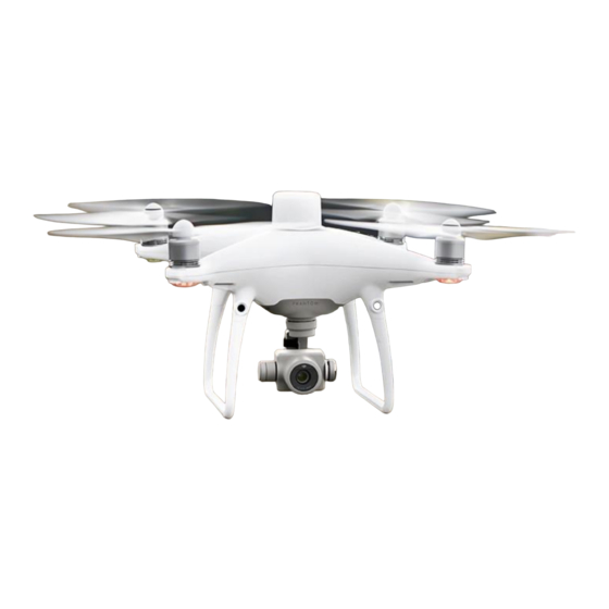
dji Phantom 4 RTK Panduan Pertanyaan yang Sering Diajukan - Halaman 12
Jelajahi secara online atau unduh pdf Panduan Pertanyaan yang Sering Diajukan untuk Quadcopters dji Phantom 4 RTK. dji Phantom 4 RTK 17 halaman. Remote controller
Juga untuk dji Phantom 4 RTK: Panduan Memulai Cepat (10 halaman), Manual Penafian dan Keselamatan (19 halaman), Setup Manual (7 halaman)

Do images captured by the Phantom 4 RTK store altitude any information? If so, how is
this data stored? Elevation and relative altitude (relative to your takeoff point) are stored in
photos captured by the Phantom 4 RTK. Absolute altitude can be used for mapping, and
relative altitude can be found in the XMP file.
How can I capture oblique photography when using the Phantom 4 RTK? Oblique
imagery can be captured while flying in the Photogrammetry mode on the GS RTK app. In the
Photogrammetry mode, you can adjust gimbal angle from -90 °to -45° under Camera
Settings for your flight plan.You can only set one gimbal angle value at a time, so for sites
where you want to capture multiple angles you can plan the same mission and just adjust the
camera angle.
Can I create a 3D model or point cloud with third-party software using the images
captured by the Phantom 4 RTK? If yes, what is the accuracy of the model created? Yes,
you can use third-party software to process Phantom 4 RTK image data and create models,
however the accuracy will vary based on the photogrammetric algorithm used. Please refer to
the third-party software provider for more information on expected accuracy.
When there are no Ground Control Points (GCPs), what is the accuracy of the model that
the Phantom 4 RTK data can make? Can the accuracy meet the requirements of 1:500
scale aerial triangulation? The orthoimages created with the images captured by the
Phanton 4 RTK and select reconstruction software have shown an absolute accuracy of
roughly 5 cm, while the accuracy required in 1:500 scale aerial triangulation is less than 30
cm. This means the Phantom 4 RTK's accuracy meets the requirements of 1:500 scale aerial
maps.
Is the Phantom 4 RTK compatible with third-party base stations? No, you cannot connect
third-party base stations to the Phantom 4 RTK or the remote controller via a radio station.
However, you can obtain data from a network RTK server via Ntrip protocol in 4G/Wi-Fi
network environment. Satellite observation data can also be saved in the aircraft for users to
conduct post processed kinematics (PPK) to complete their tasks.
When I collect orthoimages with the Phantom 4 RTK, what may cause inaccuracies in
elevation? Possible causes include:
1. The GCP is set in a different coordinate system or height datum from that of the
Phantom 4 RTK's position. Please make sure they are in the same coordinate system.
2. The Phantom 4 RTK's RTK status is not "FIX". Ensure that the RTK status is "FIX" when
collecting data.
3. The internal camera parameters used by the post processing software are not
accurate.
Purchase the DJI Phantom 4 RTK w/ RTK-2 Mobile Station Combo at www.tigersupplies.com.
